| Distance | 5.09 mi |
| Elevation Gain | 466 feet |
| My Time | 1 hr 54 min |
| Difficulty | Easy |
Caribou Trail
The Caribou Trail in Caribou Ranch Open space is a really nice easy trail that has a bit of history matched with a bit of nature and should be good for all ages and skill levels.
The Woods
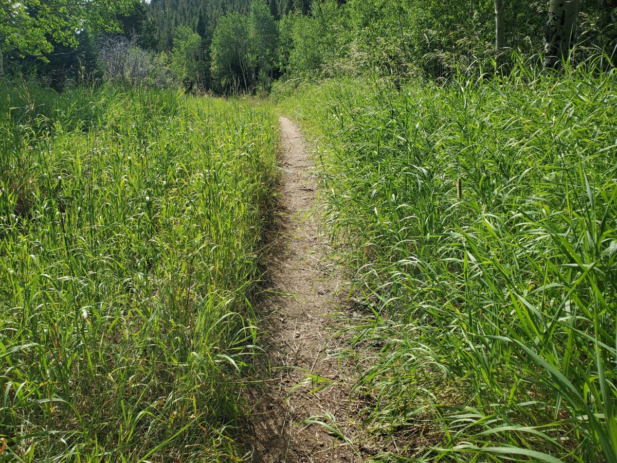
The start of the hike is in a heavily wooded area and has a combination of tall pines with some aspen trees in spots as well. The trail through the woods is a bit rocky but nothing that is too difficult. There also is not too much elevation during this hike so it is more of a relaxing walk in the woods than a strenuous walk. About a half mile up the path the woods will thin out a bit and you will find a couple of clearings that are full of wildflowers. I was lucky enough to see this deer looking for some breakfast in the first clearing.
After the first two clearings you will find yourself on a dirt service road that bends around toward the main lollipop loop of the hike. The dirt road has a lot of nice wildflowers on the sides as well and is really easy to walk on. Roughly another half mile on the dirt road and you will see another large clearing that gives you a really nice view of the meadow before you get to the loop.

The Loop
I started the loop by heading down to the Delonde homestead. This takes the loop counterclockwise but you could go either way. The homestead is one of two historical locations that you can visit on this hike and while it is cool, It would be nice to actually be able to go in and see the inside. There is an informational placard that gives more information on the family that settled there. The view from the house is really nice and if given a choice I would move in there tomorrow if I could.

After the house you walk back into some wooded area and here is where the trail gets a little bit more rocky with larger rocks sticking up that you will have to navigate but still not too difficult. Another half mile from the homestead and you will start to hear the North Boulder Creek. There is a small set of steps built off the trail that take you down to the water level which gives you a really nice view.
After the creek there is another quarter mile before you will come to a split in the trail. You can either head to the mining site or continue on the loop. I would suggest the mining site as it is a short trail and the second historical site on this walk. Although as a warning, the mining camp trail is the only trail that has much elevation to it but still only about 50 feet.
The Mining Camp
The mining camp is fairly well preserved with a couple of buildings falling over and a couple of buildings still in really good shape. There are warning signs about a heavy metals possible in the soil so I would probably avoid touching to much but it is a nice small area that you can see how people lived and worked years ago. Again the buildings are boarded up and you can’t go in but there are plaques that give more information. (more pictures in the gallery below)

After looking at the buildings I would strongly suggest continuing on the road past the last building. It doesn’t look like there would be anything there but it actually takes you to a really nice area with a small bench right next to this nice water feature of the North Boulder Creek.
After the mine you will just finish off the loop and head back. The back side of the loop is really easy and you are walking mostly on tire ruts that are hard packed dirt. There are some really nice views along this path. On one side you can see a tree filled mountain side and on the other side it opens up to the full view of the amazing meadow that you walked by.

I got to see this bird, that I am going to call a red-tailed hawk because it had a red tail. Disclaimer: I am not good with birds and this could be a pigeon for all I know but I feel better taking the video of it gliding in the thermals if I think it is something cool. So here is some video of a HAWK circling overhead.
Elevation and Distance
If you don’t have the AllTrails app you might want to check it out, I really love mine. It records your progress and is a great way to search for hikes that are nearby and gives you difficulty measurements. According to AllTrails today’s hike was around 5.09 miles and had a total elevation gain of about 466 feet including undulations. That put the high point at around 8,808 feet. I was also moving for a total of 1 hours and 54 minutes.
I am a Pro member of AllTrails and love it. If you are interested in the platform, please consider using my affiliate link for AllTrails. It gives me a small commission with no extra cost to you.
Effort
There really isn’t much elevation to speak of on this hike and the trail is mostly easy to navigate. It was basically a really nice nature walk. Here are the stats from the hike according to my fitbit.

Terrain
The Terrain at Caribou Ranch is really easy to navigate. Mostly you will walk on dirt service roads or hard packed tire ruts. There is a section towards the beginning that has some rocky track and again right around the homestead. Overall it should be a decent trail to manage but be careful around the rocks and roots.
Access
The Caribou Ranch open space is located off County Road 126 near Nederland Colorado. CR 126 is a dirt road but it is in pretty good shape with some dips and holes but it is relatively flat as dirt roads go. There is parking for about 25 cars in the parking lot and there are pit toilet restrooms at the trailhead. Dogs and bikes are not allowed on this trail. This trail is also closed April through June to protect migratory birds.
Wrap up
I really enjoyed this hike a lot. It is not very difficult and I am going to rate it as easy but there is so much to enjoy. There are wildflowers spread out throughout the hike and a bunch of pictures of them below in the gallery. You get woods and you get creeks and you get history. For being a weekend it also wasn’t overly crowded. I think that has to do with the fact that dogs and bikes are not allowed but it did lead to a nice easy and very relaxing walk. I also met some really nice people (shout out to Meghan’s group!) and just had a really enjoyable time.
After the hike I went to Ned’s in Nederland for some brunch and it was really good.
I have placed this hike and all of my hikes on my interactive map that you can find here. If you have any comments or suggestions for new hikes, feel free to email me at fatmanlittletrails@gmail.com or you can follow me on any of the below social media pages. Happy Hiking!