| Distance | 2.31 Miles |
| Elevation Gain | 492 Feet |
| My Time | 1 hr 16 min |
| Difficulty | Moderate |
| Closest Town | Alta |
| Food Nearby | N/A |
Hiking to Cecret Lake
Cecret Lake is a beautiful hike through parts of the Alta Ski area to a mountain-side like. The trail is pretty short for such a great payoff at the lake. Moose, deer, marmots, and even tiger salamanders can be seen on the trail at the top of Little Cottonwood Canyon. While there is great hiking around the lake, there is no swimming, wading, or touching the water allowed.
Getting Started
The trail to Cecret Lake is located at the top of Cottonwood Canyon. You will head just past the ski resorts to a small booth that charges a fee to drive to the top of the canyon. Please note, I traveled here in June and am not sure what the winter schedule is like. The road ends at the Albion Basin Campground where there are a couple of parking lots. From these lots, you will find the trailhead.

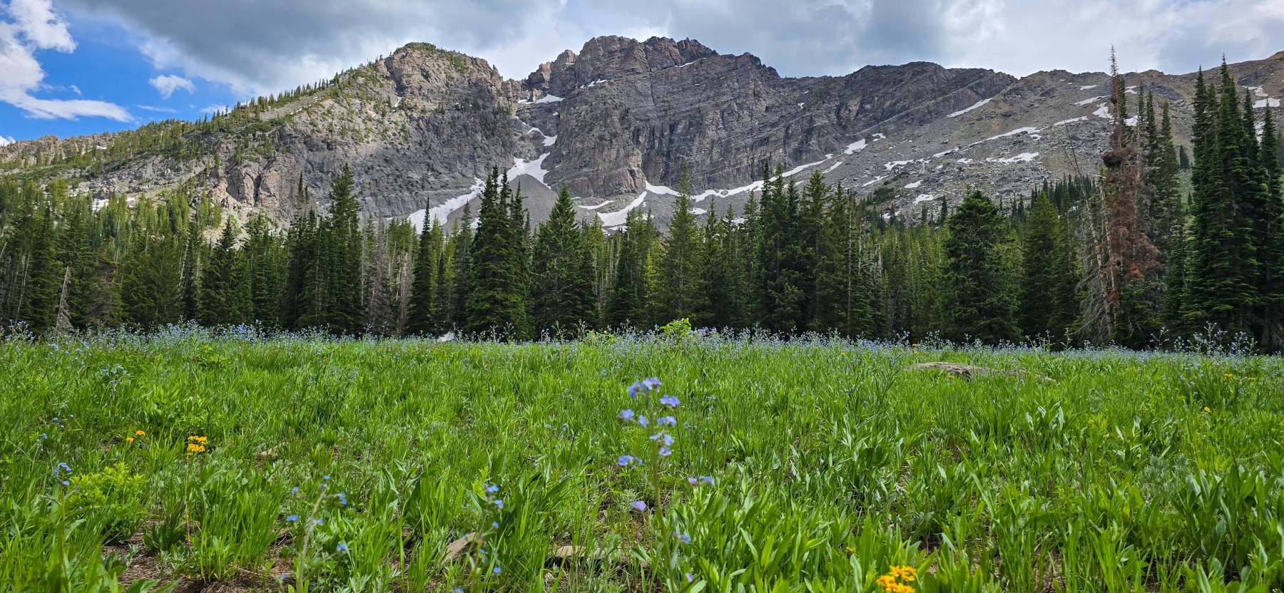
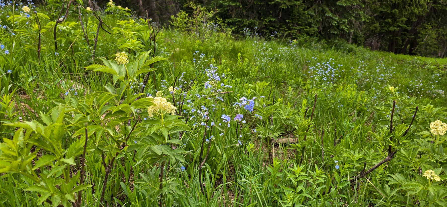
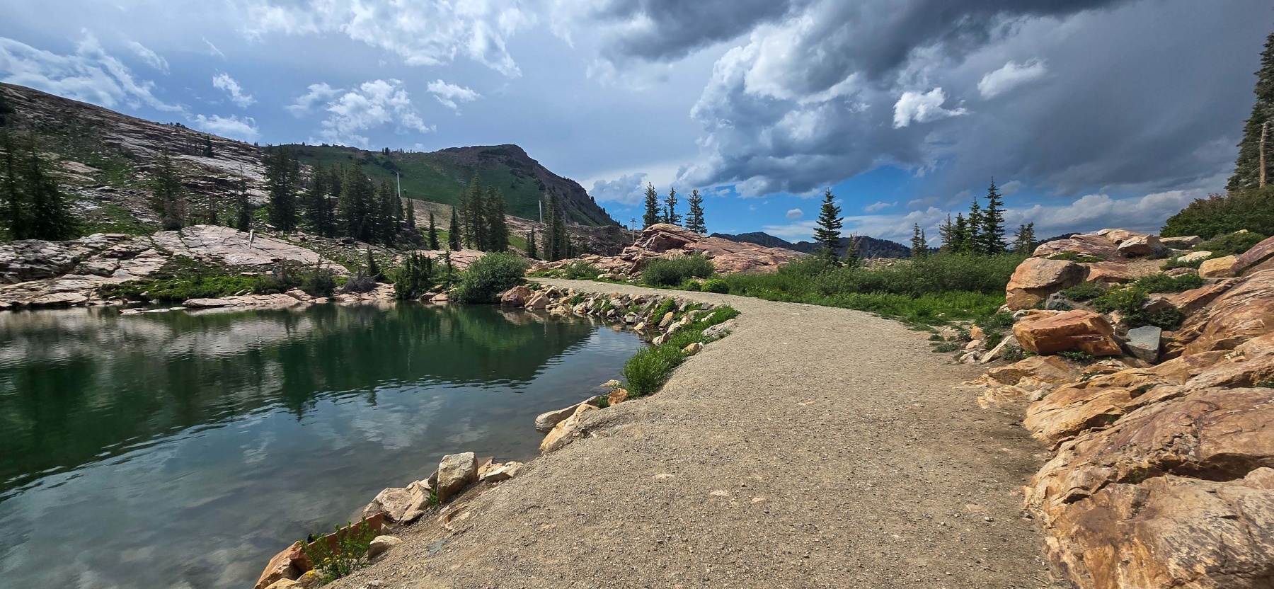
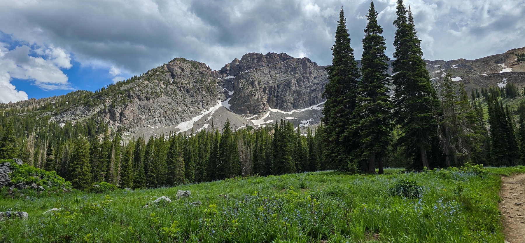
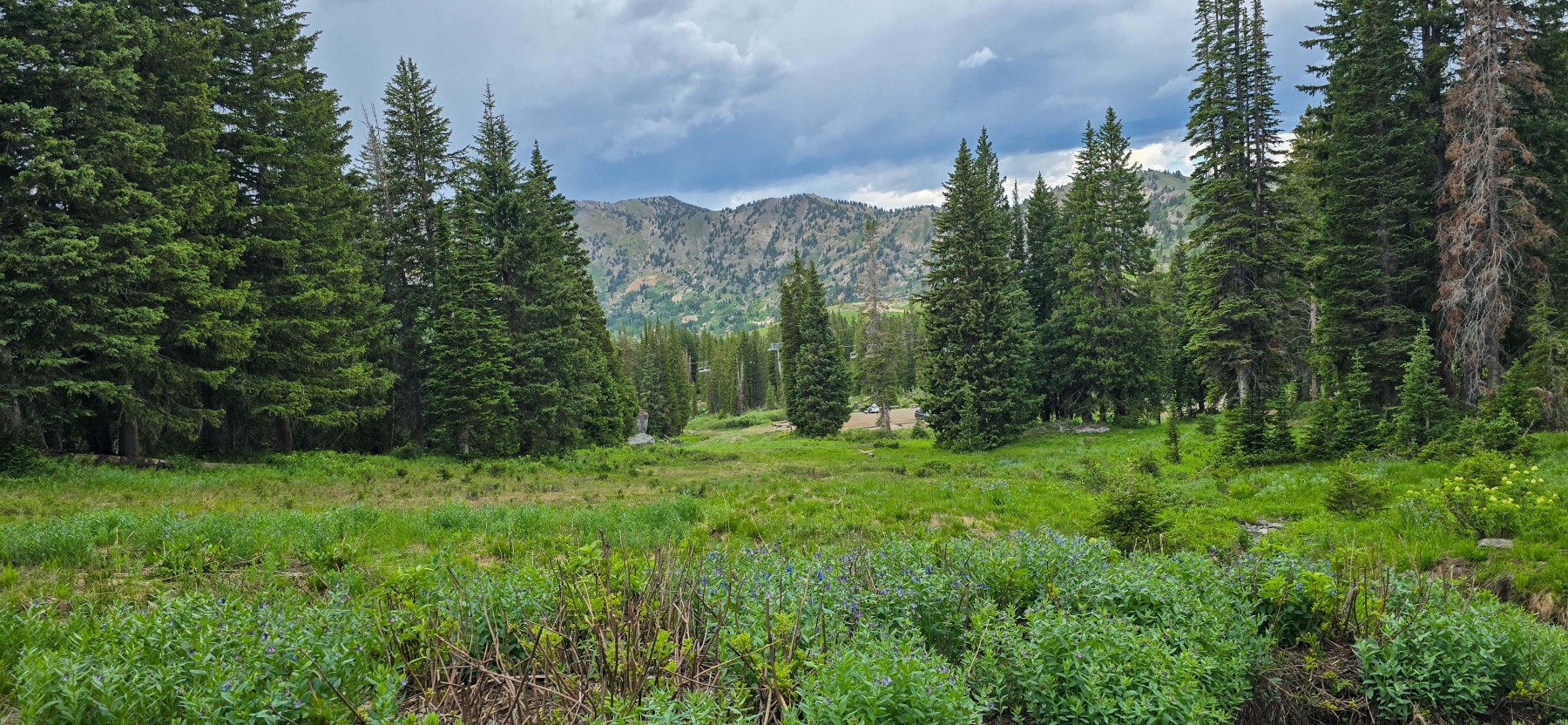
The start of the trail is a gradual incline on a wider trail surrounded by tall grasses and wildflowers. There is a bit of tree cover on this early section as well. Hiking here at the end of June was special. the wildflowers were really starting to pop and there was a small creek to cross before making it to a more open area about halfway to the lake.

The Basin
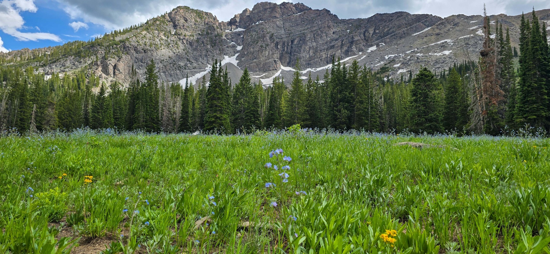
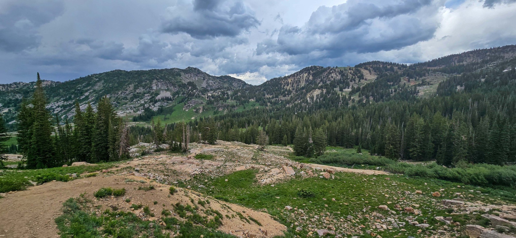
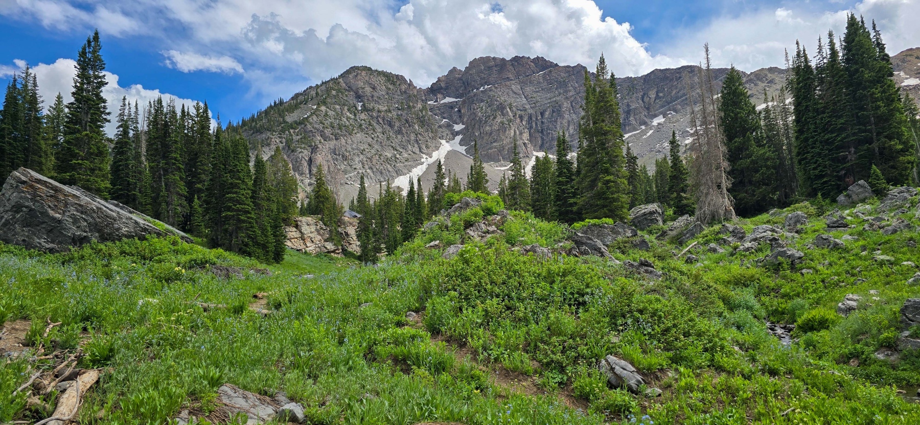
Once you clear the trees the trail opens up a bit and shows off some amazing views of the basin. This is really one of the most beautiful places I have been. Around a half mile in, there is a small trail that leads to a giant rock overlooking the basin. It is worth the few steps to make it here. Especially if the wildflowers are out.

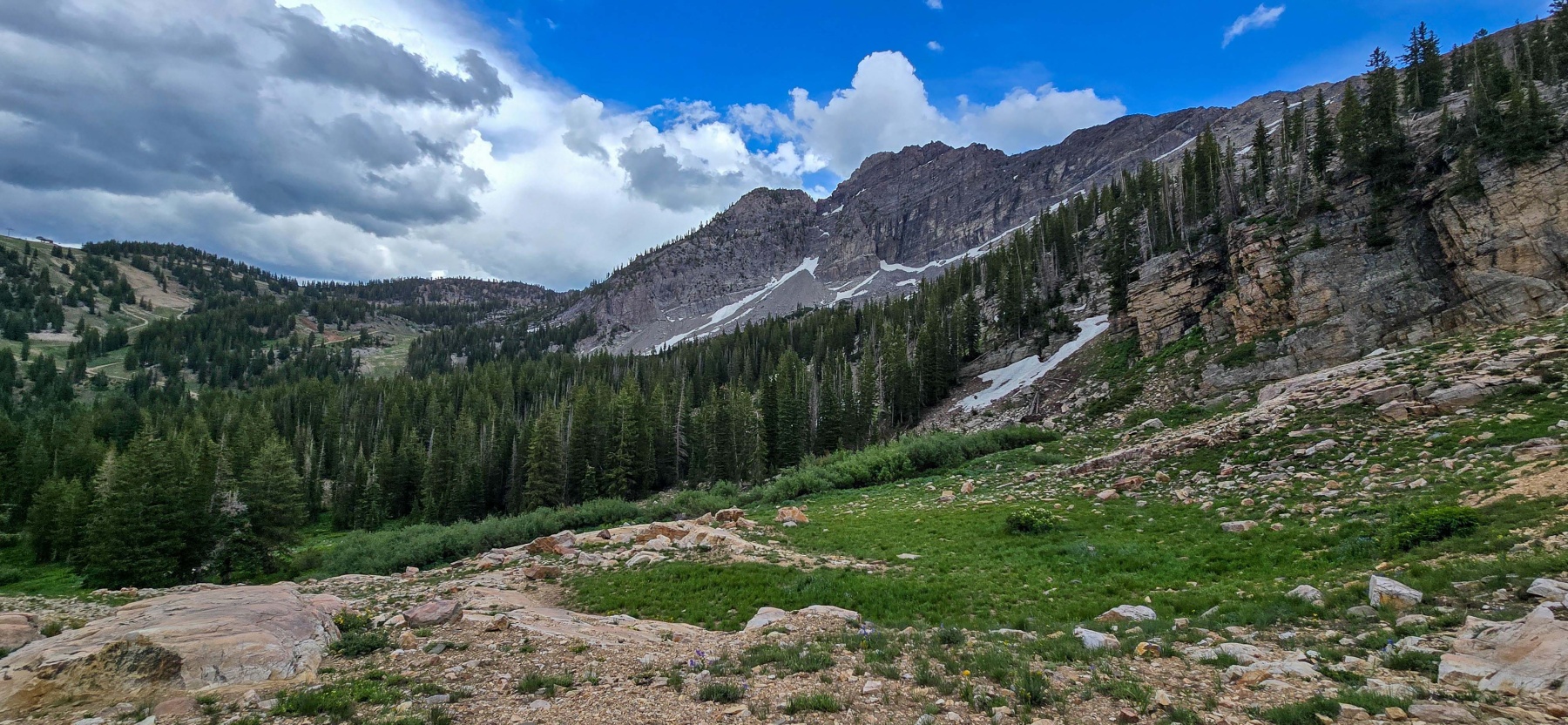
After the rock, the trail starts to get a bit more uphill and leads towards a more rocky area. From this open area, the views really open up! You are about halfway to the lake from here but it is definitely the harder half waiting in front of you.

A Rocky Approach
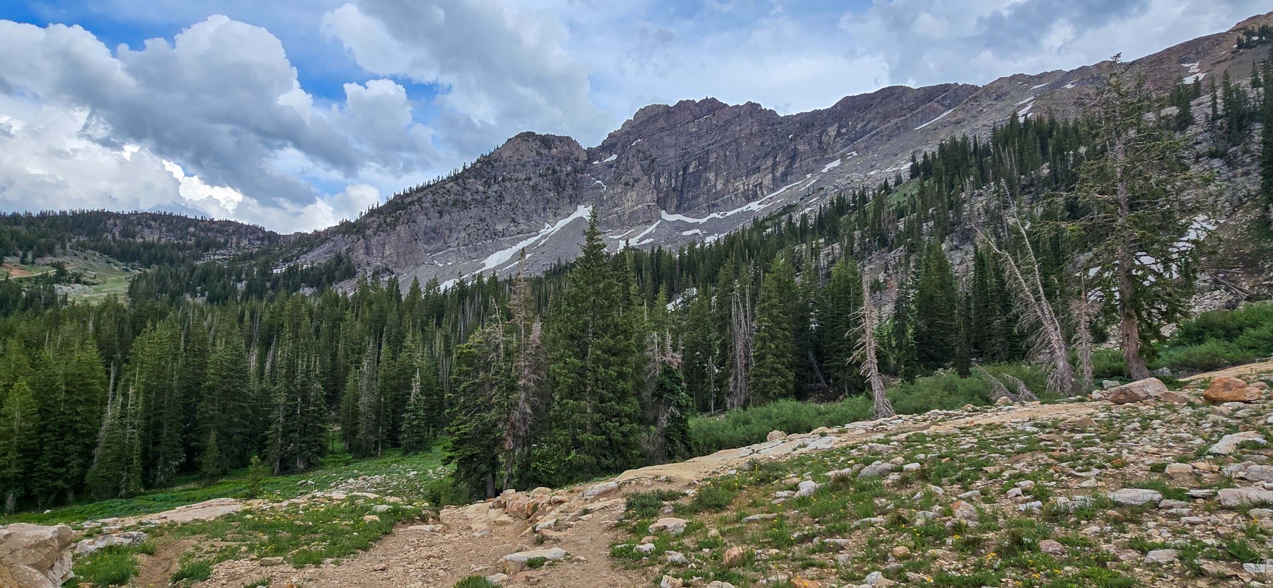
The last third of the hike to Cecret lake gets a little rocky, well maybe a lot rocky! The trail switches from a well traveled and manicured trail to a dusty path through large rocks. It is still fairly easy to follow, however, I got myself a little confused and missed one of the switchbacks. The good news is, it led me to a waterfall view!

Make sure to go a bit slower to find the switchbacks that lead up to the lake on this fully exposed and rocky section. You shouldn’t have to scramble over any rocks if you are on the right path. Some of the paths just get a little hard to follow. Once you make your way up the rocks, the reward is one of the coolest lakes in Utah!

Cecret Lake
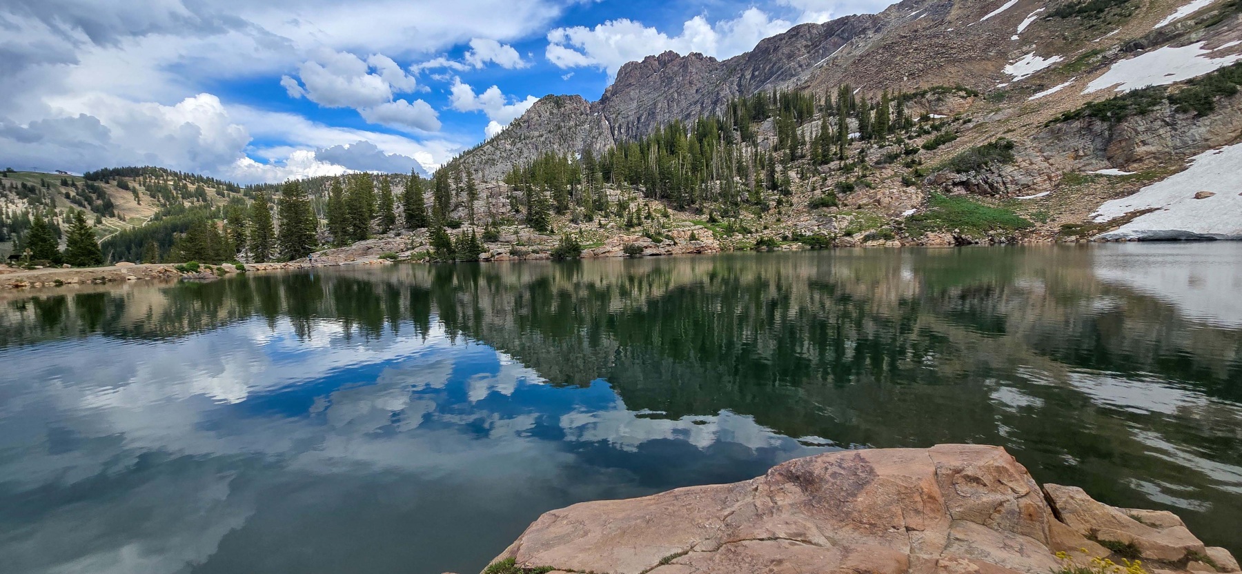
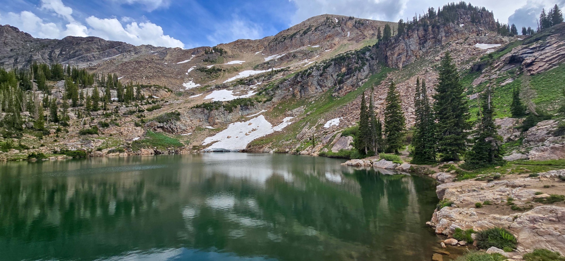
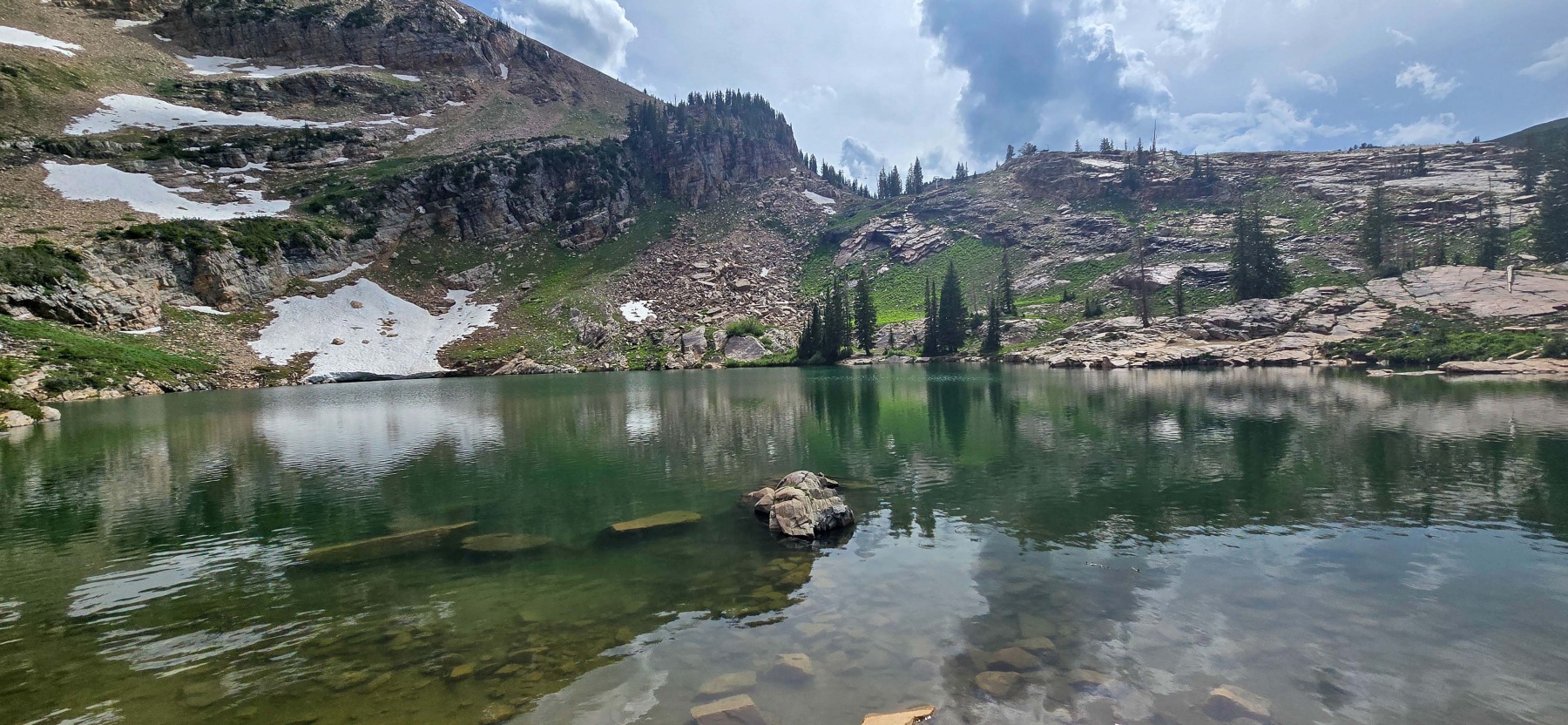
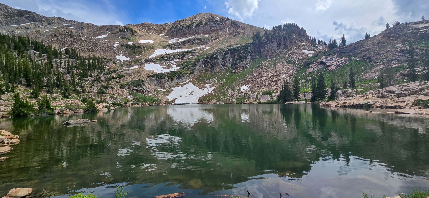
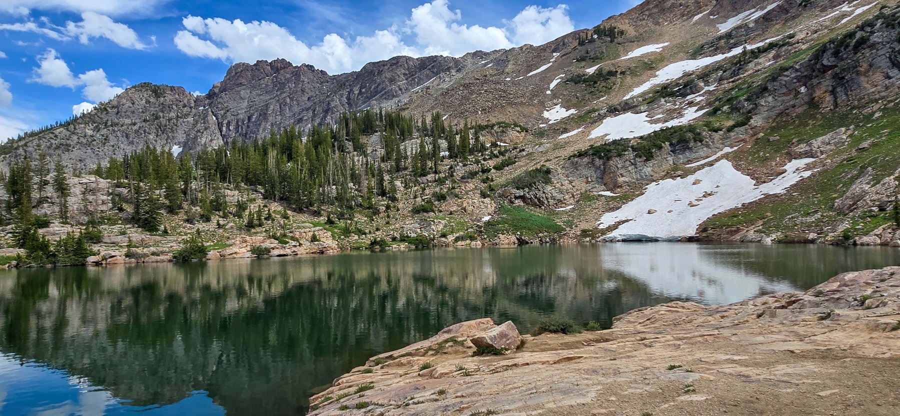
Some hikes don’t have enough payoff for the effort. This is definitely not the case for the Cecret Lake hike. Cecret Lake is nestled into the mountainside and with a light wind day, creates a wonderful reflection on the water.

The lake has a very unique eco system that includes tiger salamanders, which I unfortunately did not see. There are also marmots, which I heard, and pika around the lake. A long waterfront trail allows for access to a lot of the waterfront. Reminder, no swimming or getting in the water at all on this lake. It was really one of the prettiest and most peaceful lakes I have seen. Especially considering how short of a hike it is to get here.

Distance and Elevation
If you don’t have the AllTrails app you might want to check it out, I really love mine. It records your progress and is a great way to search for hikes that are nearby and gives you difficulty measurements. According to AllTrails today’s hike was around 2.31 miles and had a total elevation gain of about 492 feet including undulations. That put the high point at around 9877 feet. I was also moving for a total of 1 hour and 16 minutes.
I am a Pro member of AllTrails and love it. If you are interested in the platform, please consider using my affiliate link for AllTrails. It gives me a small commission with no extra cost to you.
Effort
The hike to Cecret Lake near the Alta Ski resort isn’t long but it is surprisingly steep in places. The rocky terrain can also be a challenge for those who don’t hike often. Even though it is only around 3 miles roundtrip, I am going to rank this as a moderate hike due to terrain and elevation.
Terrain
The trail to Cecret lake starts as a wider managed trail. There is a small water crossing depending on the season and then the trail gets a little more challenging. As you get closer to the lake, the trail gets much rockier and a bit steeper. The second half of the trail is also very exposed to the elements. I would recommend some good hiking shoes or boots, sun and weather protection for this shorter hike.
Access to the Cecret Lake Hike
The Cecret Lake Trailhead is located at the Albion Basin campground at the end of Little Cottonwood Canyon. There is a fee of $12 for road access above the ski resorts. At the trailhead there are two decent side parking lots that fit probably 30 cars between them. There are also pit toilets available.
Wrapping up the Cecret Lake hike.
Cecret Lake is one of the coolest lakes I have been to. To start, the hike to get there is short, which makes it a perfect hike for after work, or like me, at the end of the day after a conference. The drive is a little far from downtown but it is definitely worth it. The lake itself is moderately sized for a mountain lake but there were some decent spots to sit and enjoy it. I would imagine it would be a great place for a picnic. The wildflowers and mountain views were also outstanding.
For such a short hike, there is a bit of elevation gain to deal with. Plus, the trail does get a little rock as you get closer to the lake so this might not be the best bet for everyone. It is also a high altitude lake so if you are not used to hiking with thin air, that could be a challenge. That being said, I think most people will be able to enjoy the beauty that is Cecret Lake!
I have added this hike and all of my hikes to the interactive map page you can find here. If you have any suggestions for hikes or comments feel free to email me at fatmanlittletrails@gmail.com or you can follow me on any of the below social media platforms. Happy Hiking!
Gallery of the Cecret Lake Hike