| Distance | 2.29 Miles |
| Elevation Gain | 446 Feet |
| My Time | 1 hr 47 min |
| Difficulty | Moderate |
| Closest Town | Moab |
| Food Nearby | Sunset Grill |
Hiking to Longbow Arch and the Dino Tracks
There are great hikes in Moab that aren’t part of the National Park system, too! One of those hikes is the Longbow Arch and Dino tracks hike that starts from the Poison Spider trailhead. This hike makes a brief stop at some historic Dinosaur Tracks before exploring through some great terrain all the way to a really cool arch. It is a bit challenging so might not be for everyone, but if you can make it, you should have a really enjoyable time!
Getting Started
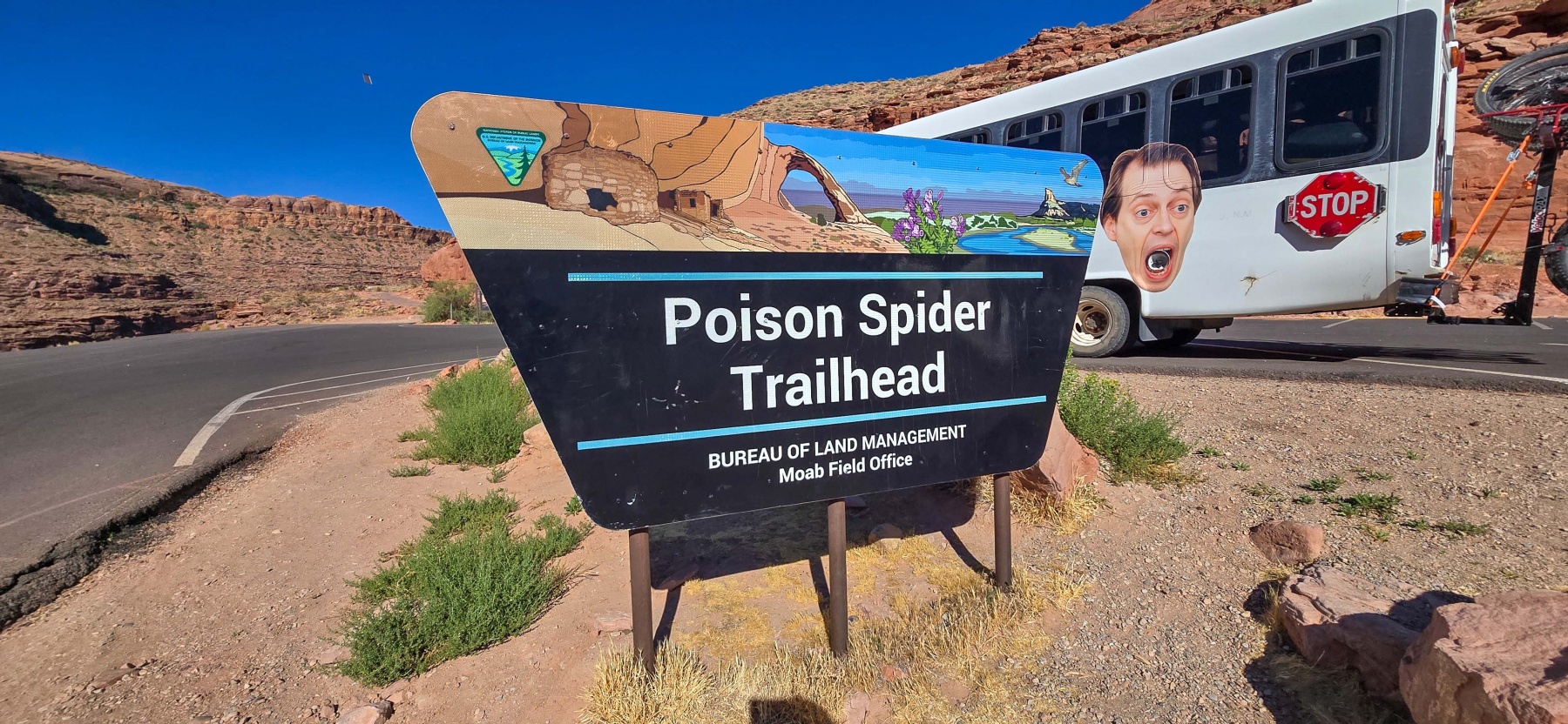
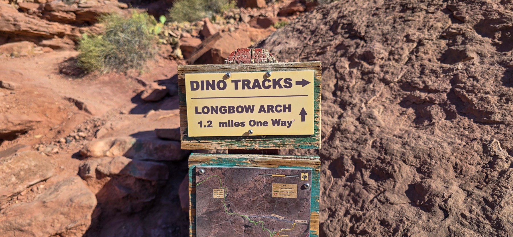
The Poison Spider Trailhead is down Potash Road, just across the Colorado River from Moab. On your way to the hike, don’t forget to stop at the roadside Petroglyphs! The Poison Spider trailhead is located right before the road turns to a dirt, off-road section so most vehicles should be able to make it. The trail begins next to the toilets and the dinosaur tracks can be seen really soon after you start. If you have a decent zoom lens on your camera, you may even be able to see them from the parking lot. The tracks are a great first start to the trail before heading off to Longbow Arch.

Dino Tracks
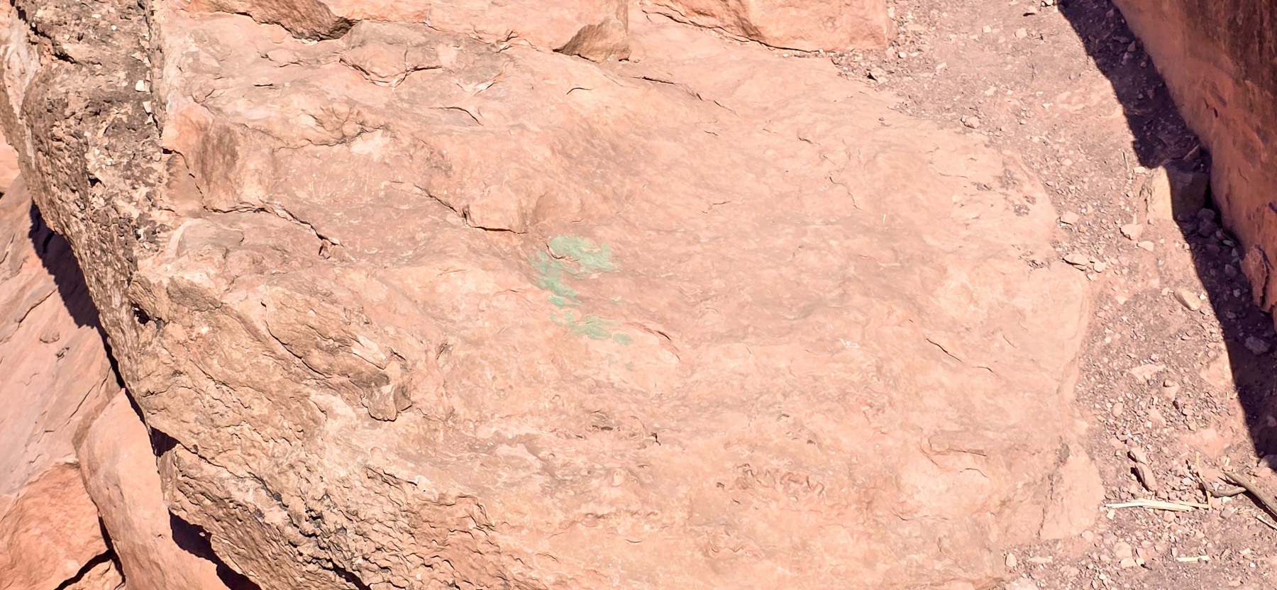
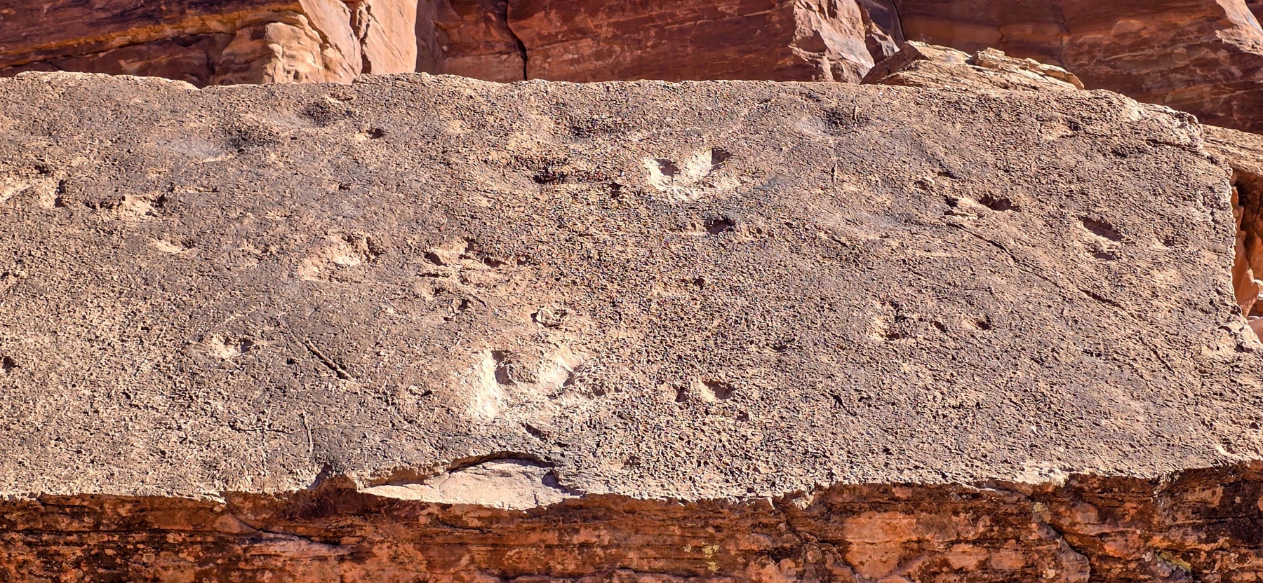
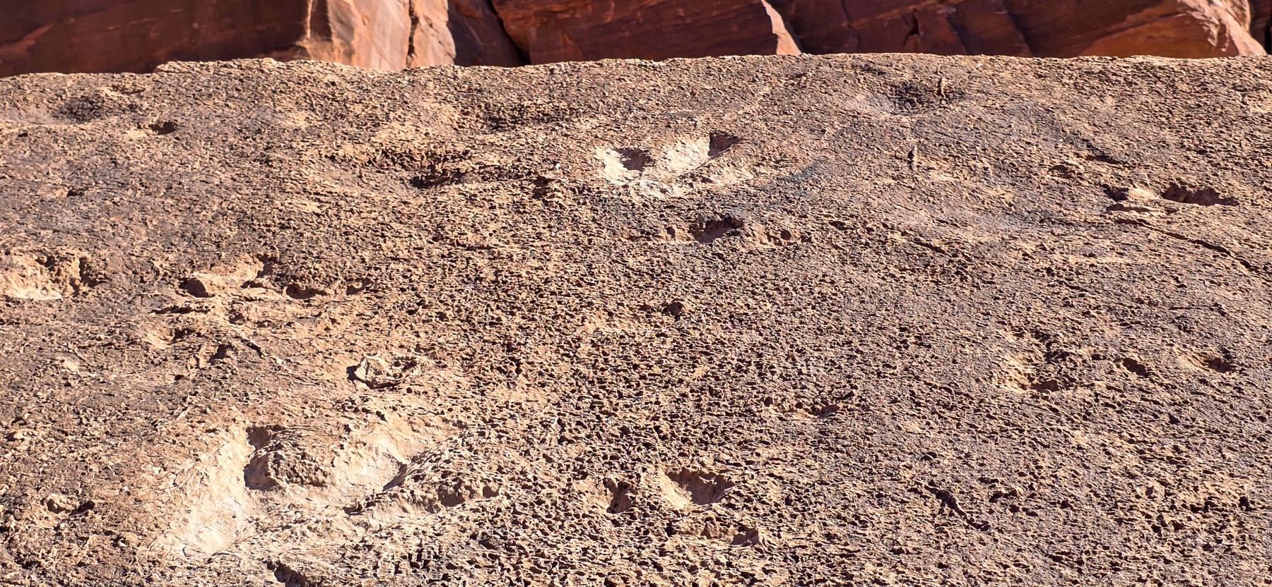
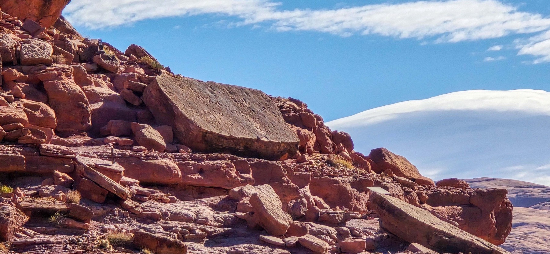
Just a quarter of a mile down the path is dinosaur tracks. There is one large block of sandstone that at some point fell into the position it is in now and has been preserved. According to the sing (gallery) at the location, there are tracks in several places around Moab. These tracks are all from the Jurassic period, about 190 million years ago. There are tracks from a 5-6 foot tall dinosaur and several smaller tracks that are from dinosaurs closer to the size of a modern day turkey. It is pretty cool to see this slab of such perfectly persevered tracks, just sitting in the Utah sun!

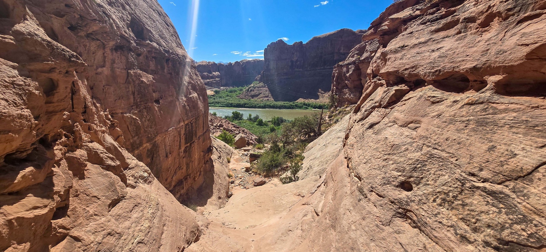
While the tracks are only a quarter of a mile from the trailhead, there are some challenges to get close. The trail is well marked, but there is a small scramble to get up to the actual rock. This requires a bit of a butt slide to get back down which may make some people uncomfortable. As you can see from the above image, the area is very rocky which makes footing a challenge. However, if you can make it up to the slate, the tracks are really great and you are really able to see the detail on the sandstone.

Up the Canyon
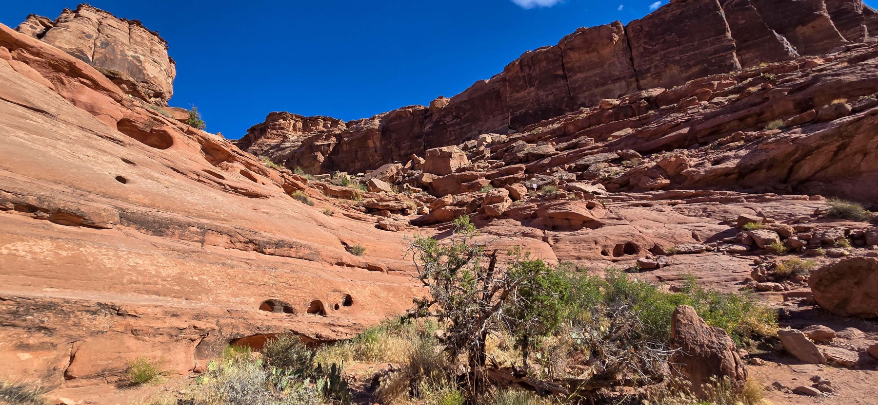
Once you have seen the tracks, the next step is to make your way up the small canyon to head towards Longbow Arch. I will say that I struggled a bit to find the trail in this section. There are small painted marks to help you find the way but I found them a little hard to see. Also, As you make your way up, there is a section where you have to use metal hand holds to climb up a small section. This could be a challenge for some who are not used to this type of hiking. I unfortunately didn’t get a great photo of the hand holds, but this is the section after you have climbed up.

Besides the climb and the trail being a bit tricky to follow, there is also quite a bit of loose rock on this lower level of the trail. It isn’t really rock on inclines but some of the rocks you are stepping on give a little wobble. I found this section to be one of the most challenging parts of the hike and just wanted to warn folks before they get to far into the hike.

Valley of Rocks
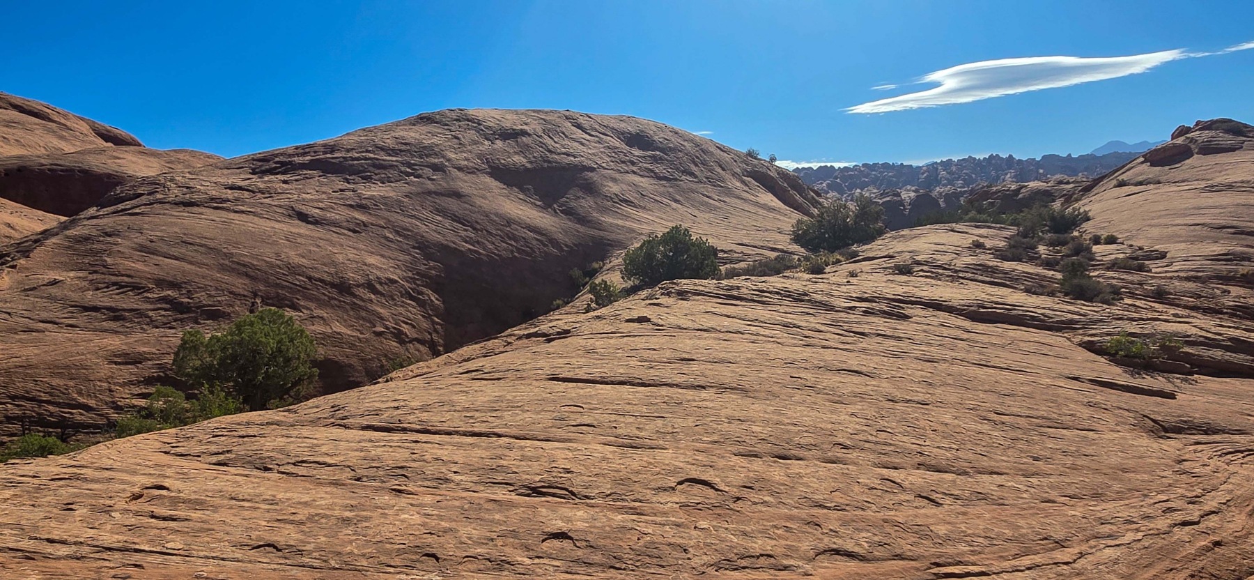
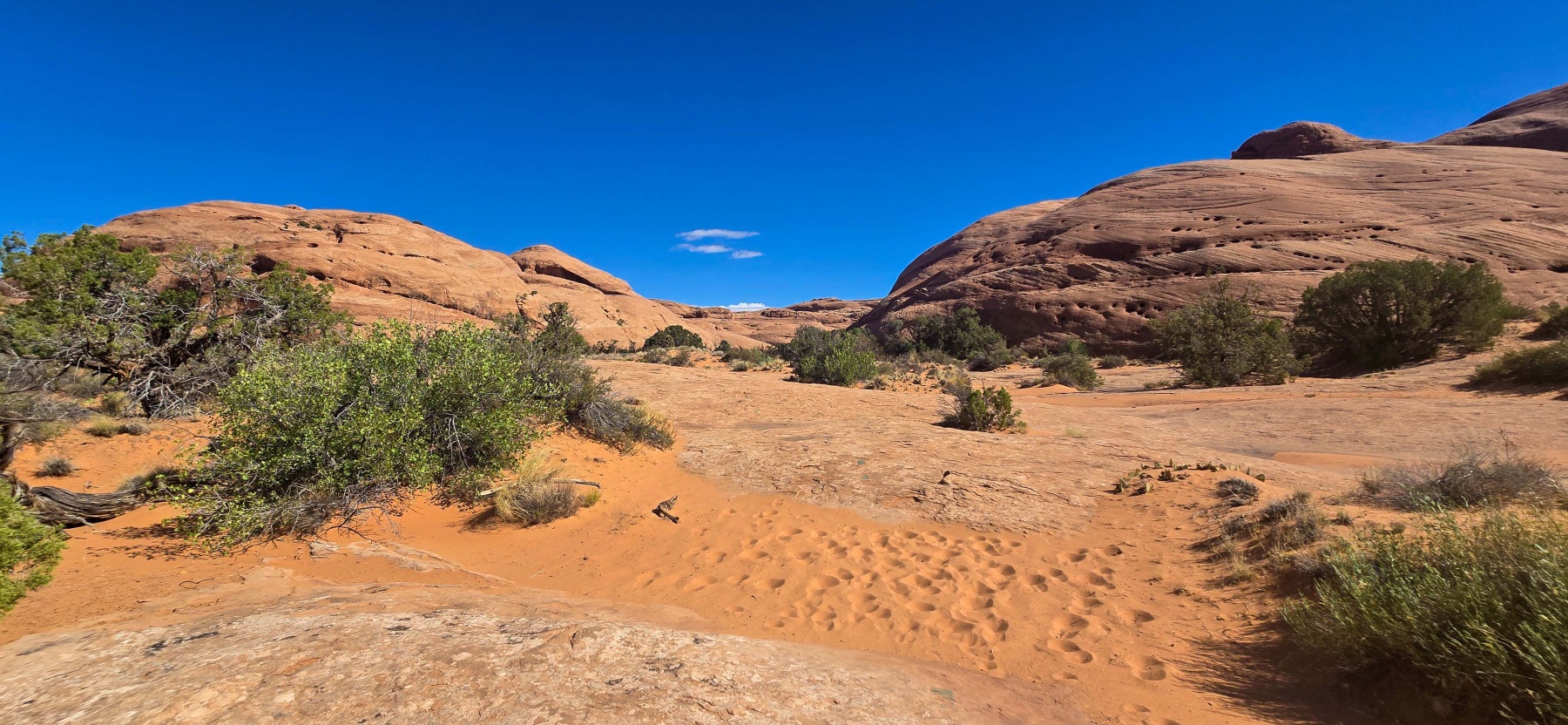
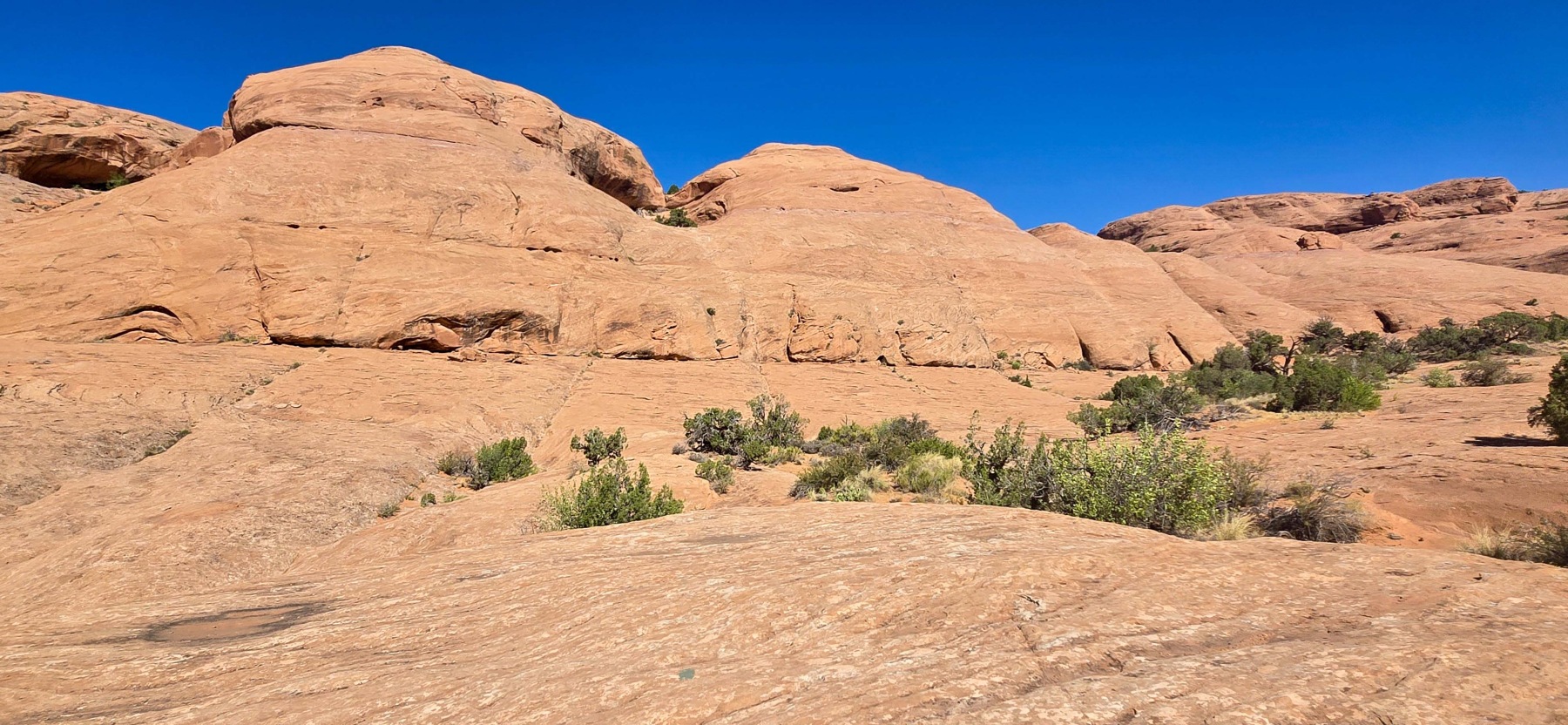
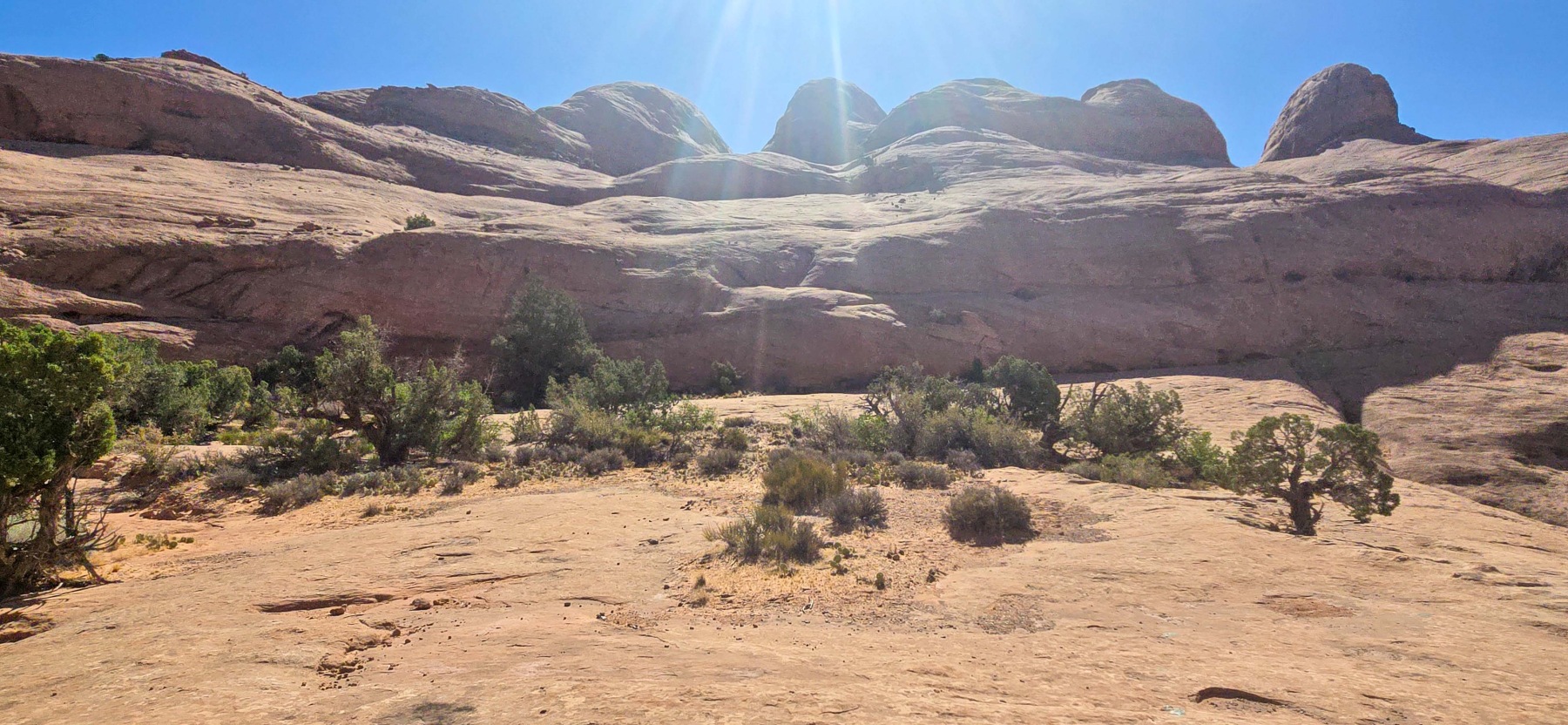
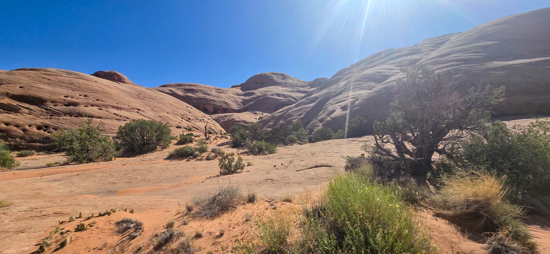
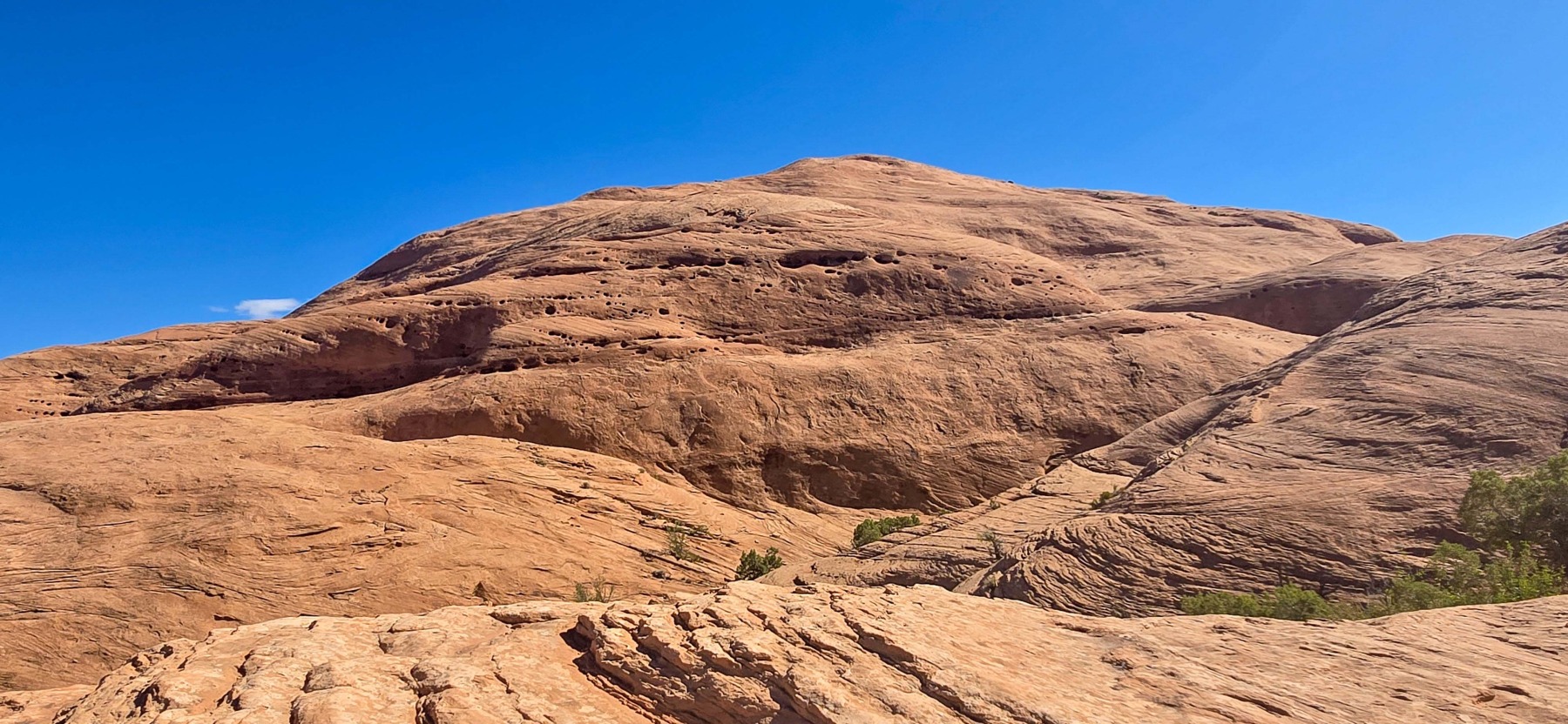
Once you make it through the first section of the trail, it actually gets a lot easier. The trail begins to follow a series of large slick rock formations and walks through a small valley that is surrounded by giant round rocks. If you are hiking in the summer, this is where it also starts to get really hot! There is very little shade in this section and the sun reflects off the rocks but it is also really beautiful.

The middle section here between the rocks is much flatter but does have a steady incline, usually around 7% grade. It lasts for about a half mile which typically wouldn’t be too bad. However, there is about a quarter mile section where you have walk through soft sand that is about ankle deep. The sand definitely adds a little more difficulty to the walk.

Canyon to Longbow Arch
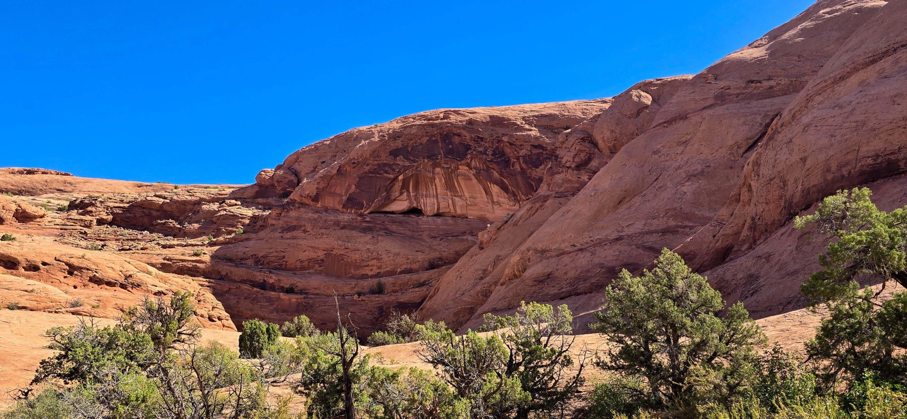
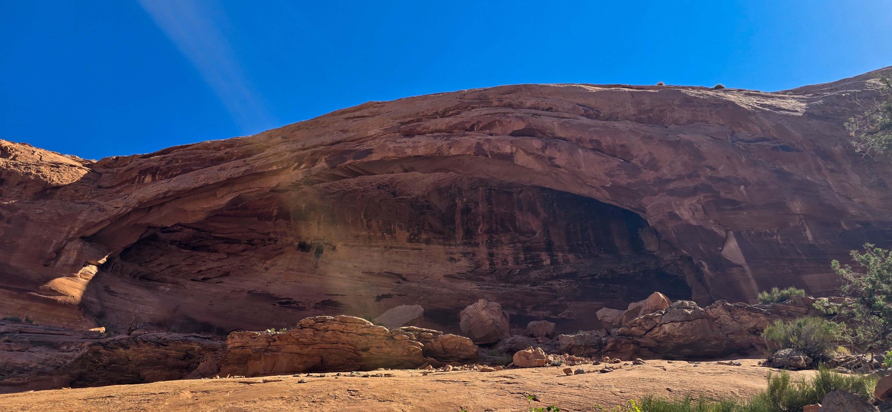
Once you clear the sand, it feels like you are at the arch, at least that is what it felt like to me. The rock face in front of you looks like it could be an arch but the map just didn’t match up. While, the rock in front of you does have an arch like look, it is still connected and apparently doesn’t count as an arch. I mention this because I was very confused standing there wondering how to get to the actual arch.

To get to Longbow Arch, you actually need to head to the right and up a tree filled, narrow canyon. If I didn’t have my AllTrails running, I probably never would have found it but luckily I did. The canyon is a little hard to navigate in the summer as there was a lot of growth that made finding the path a challenge. I took a few wrong turns but inched my way up the canyon until I got as close as I could.

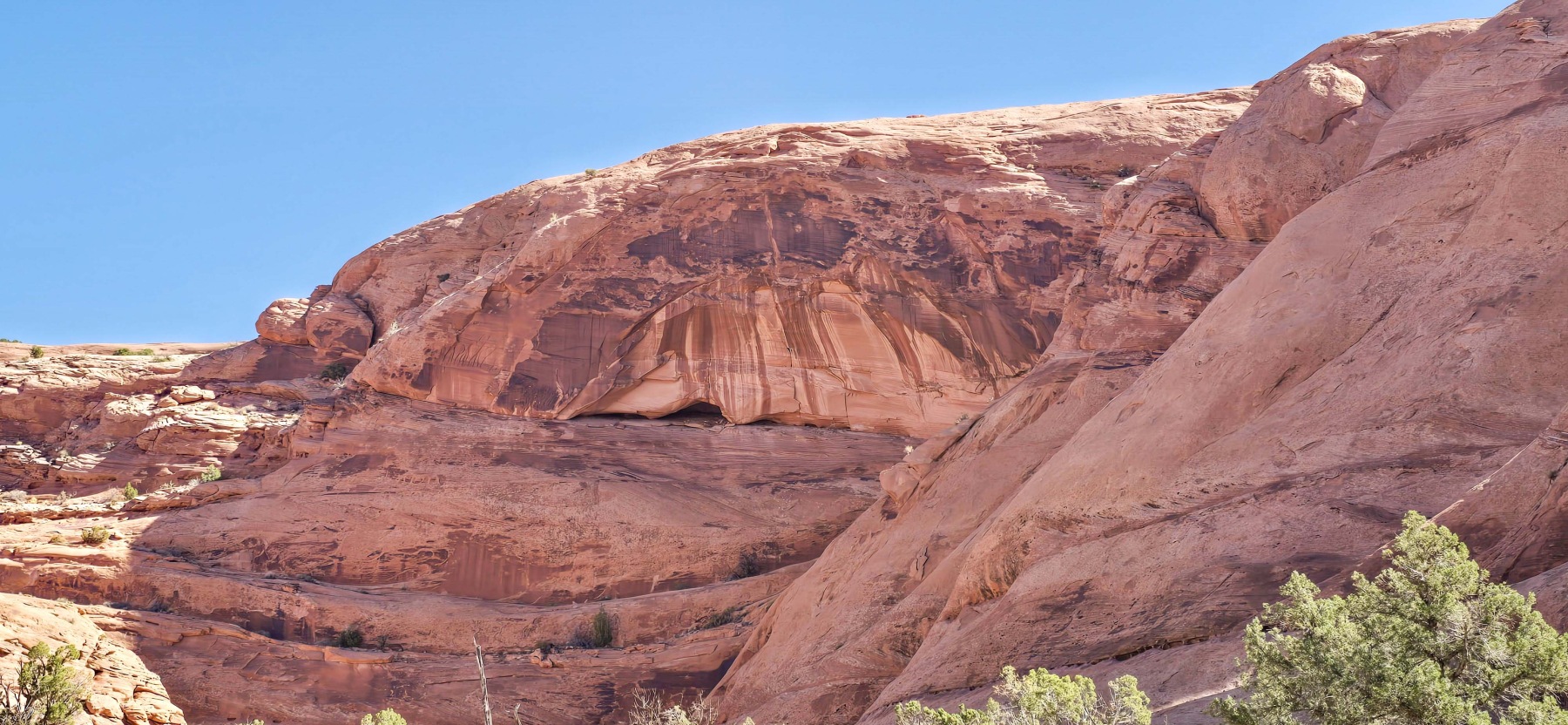
Longbow Arch is on the northern wall near the top of the small canyon. it is hidden for a bit of the hike up the canyon but as you get closer you can really start to see it take shape. Longbow is between 60 and 80 feet long but it is hard to tell just how large it is because it is tucked so closely to the surrounding rocks. Like most arches, it is magnificent. It is also much less traveled than the popular arches around the area so it can be observed with a little more privacy and solitude.

Video of the Longbow Arch and Dino Tracks Hike
I have put this time-lapse video together of the Longbow Arch and Dino Tracks hike so other hikers can get a feel of what the hike is like. If you enjoy this video make sure to subscribe to my YouTube channel. It is free to subscribe and you will get the latest outdoor content.
Distance and Elevation
If you don’t have the AllTrails app you might want to check it out, I really love mine. It records your progress and is a great way to search for hikes that are nearby and gives you difficulty measurements. According to AllTrails today’s hike was around 2.29 miles and had a total elevation gain of about 446 feet including undulations. That put the high point at around 4,393 feet. I was also moving for a total of 1 hours and 47 minutes.
I am a Pro member of AllTrails and love it. If you are interested in the platform, please consider using my affiliate link for AllTrails. It gives me a small commission with no extra cost to you.
Effort
While the hike to Longbow and the Dino Tracks is relatively short, it has some extra challenges that might not make it right for everyone. To get to the Dino Tracks, there is a small section of scrambling and a bit of a slide to get back down. There is also a challenge going into the early chasm that includes using some metal ladder holds. Then at the end there is some steep sections in the small canyon that get challenging. I am going to rank this as a moderate hike, because of these extra features.
Terrain
The terrain on the Longbow Arch trail is a bit of a mixed bag. For the most part, it is hiking on slick rock but there are sections of broken rock trail. There are also sections that are ankle deep sand and the small scrambles mentioned above. The final canyon is narrow and has a lot of growth to move around that makes seeing where you are stepping a challenge. Finally, the middle section is very exposed with no shade and can get really hot in the Moab summers!
Access to the Longbow Arch Trail
Unlike a majority of the Arches around Moab, Longbow is not in a national park. It is located down Potash road and starts at the Poison Spider Trailhead at the end of the paid section. There are about a dozen parking places and a pit toilet available at the trailhead.
Wrapping up the Longbow Arch and Dino Tracks Hike
The hike to Longbow Arch and the Dinosaur Tracks is a really great hike in Moab that is away from some of the crowds. I was surprised at how challenging it was for such a short hike. But, it turned out to be a really beautiful hike with a great arch at the end.
Because of some of the physical challenges, I don’t know that this is a great hike for inexperienced hikers. If you can make it, it is worth it. A great hike with a big reward at the end.
I have added this hike and all of my hikes to the interactive map page you can find here. If you have any suggestions for hikes or comments feel free to email me at fatmanlittletrails@gmail.com or you can follow me on any of the below social media platforms. Happy Hiking!
Gallery of the Longbow Arch and Dino Tracks Trail