| Distance | 5.82 mi |
| Elevation Gain | 1.024 ft |
| My Time | 2 hr 38 min |
| Difficulty | Moderate |
| Closest Town | Steamboat Springs |
| Food Nearby | Old Town Pub |
Rabbit Ears Peak
You have probably seen Rabbit Ears Peak while heading down US-40 on your way to Steamboat or Salt Lake. The Distinctive dual peak that looks like rabbit ears sticking up from the landscape are hard to miss. But did you know that you can hike up to them? On one road trip I decided to stop and was blown away with the hike to Rabbit Ears Peak.
Getting Started
The trailhead to start the hike to Rabbit Ears Peak is not located right off the road. You will have to head about a half mile down the parking lot and past the campground before pulling into a smaller parking lot on the left where you will see signs for the Continental Divide. This hike only shares a starting spot with the CD trail before splitting off.
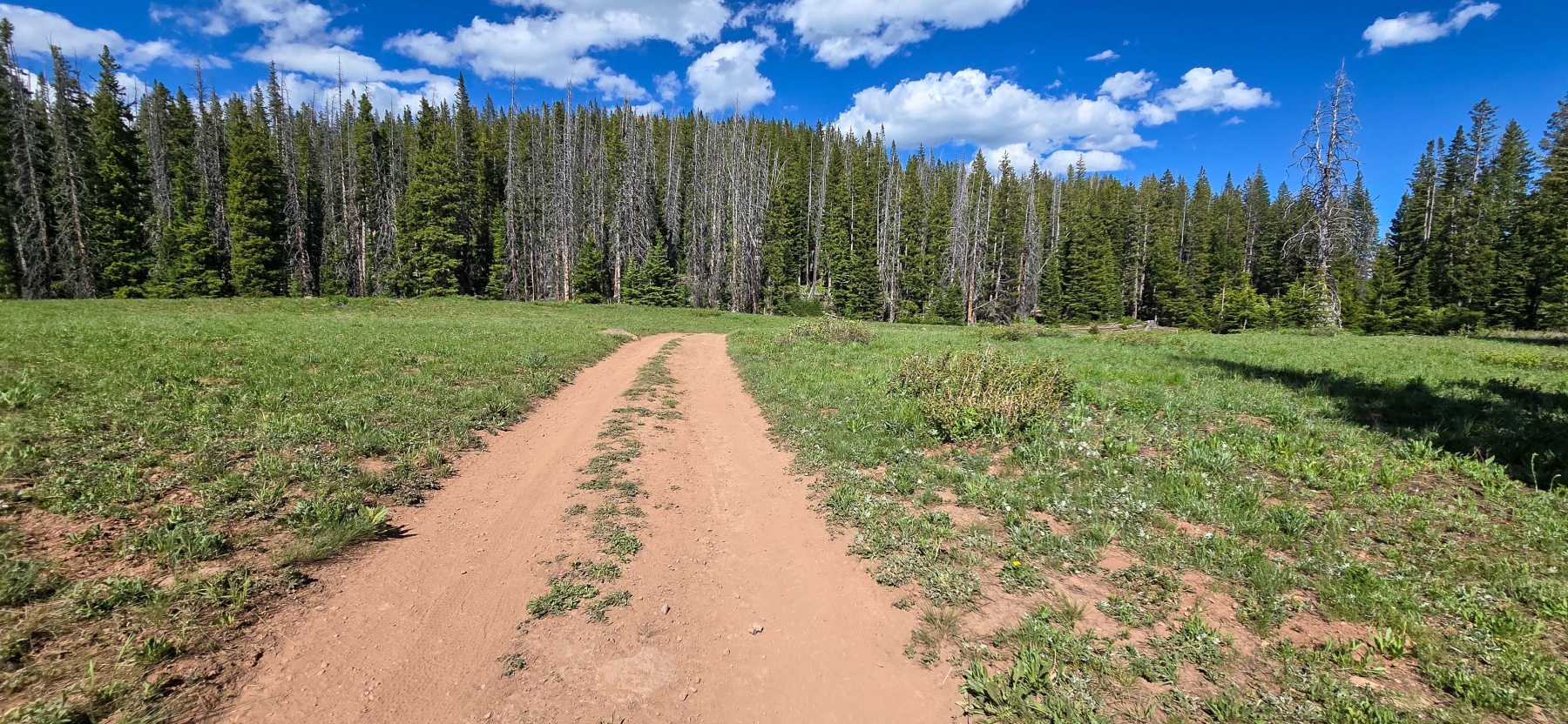
The trail begins down a fire road for about two-tenths of a mile before making a right hand turn at the junction that will lead you towards Rabbit Ears Peak.

Meadows and Views
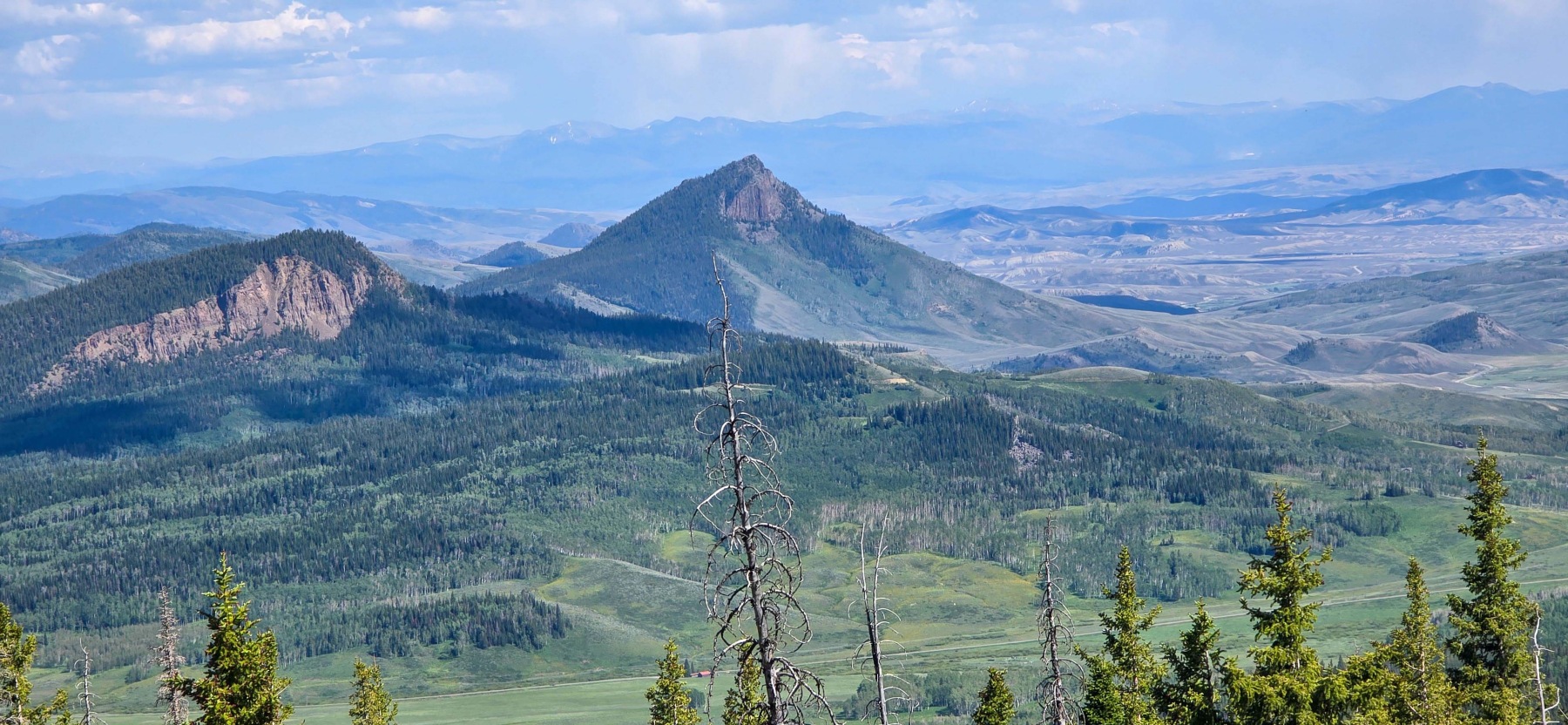
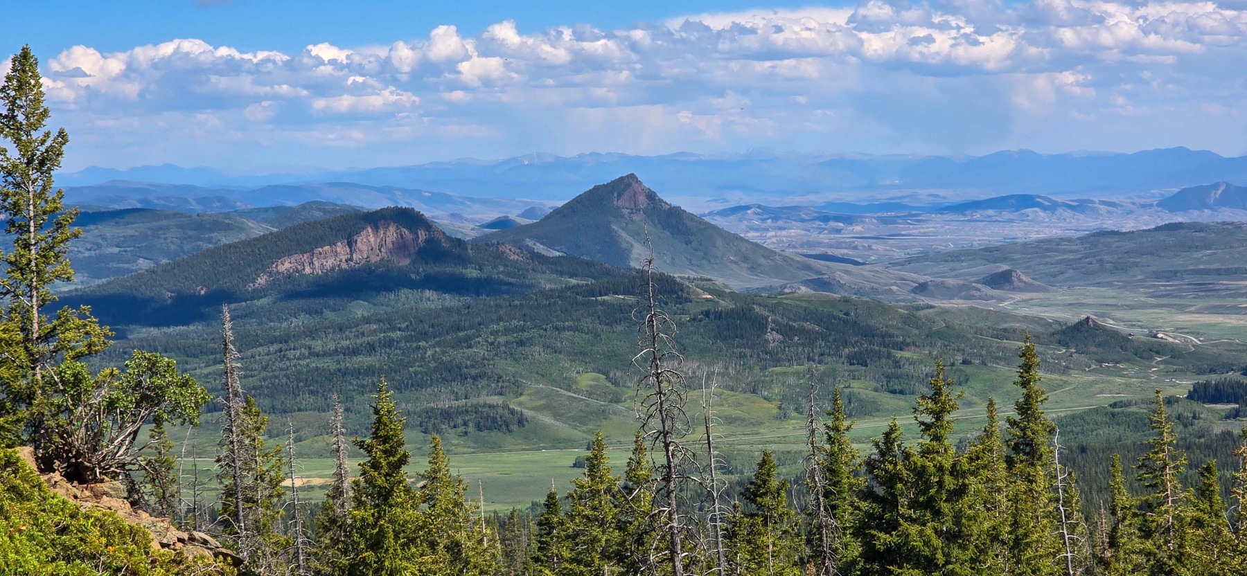
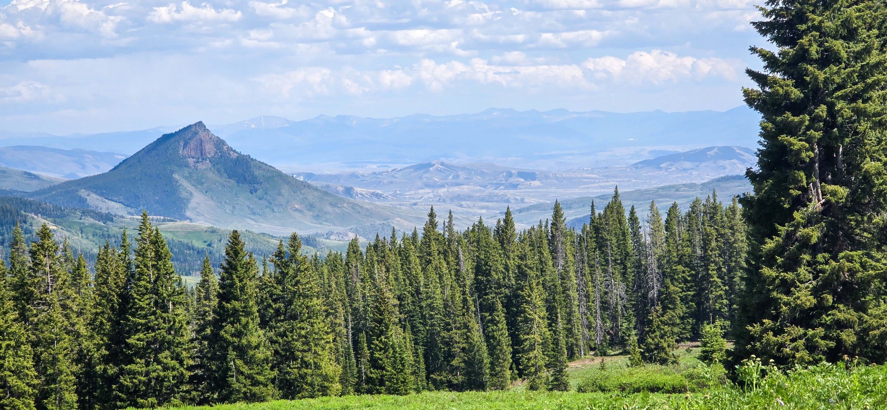
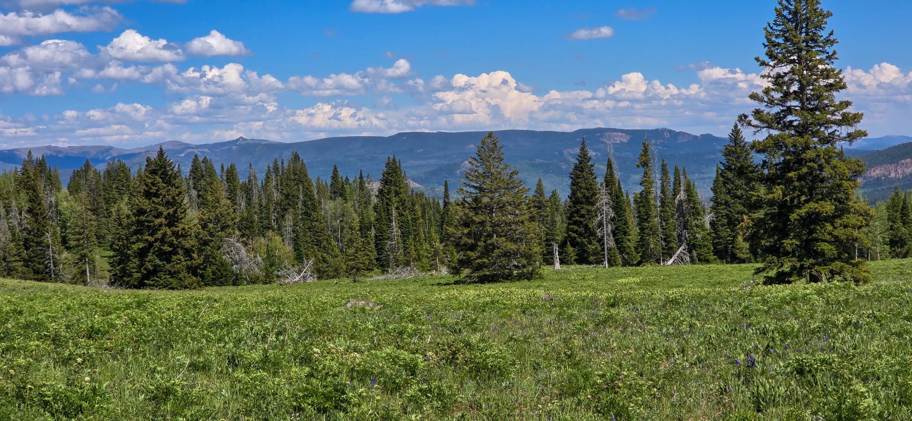
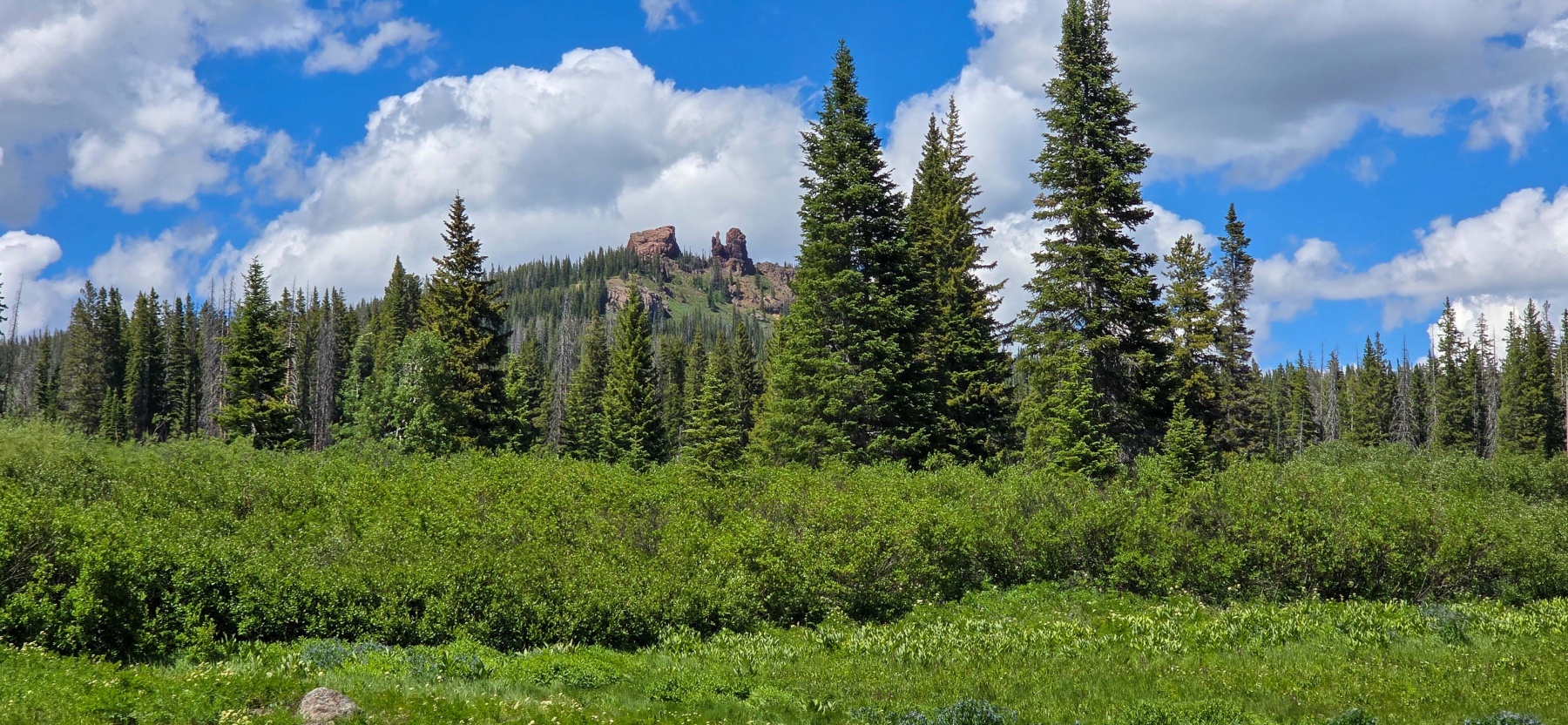
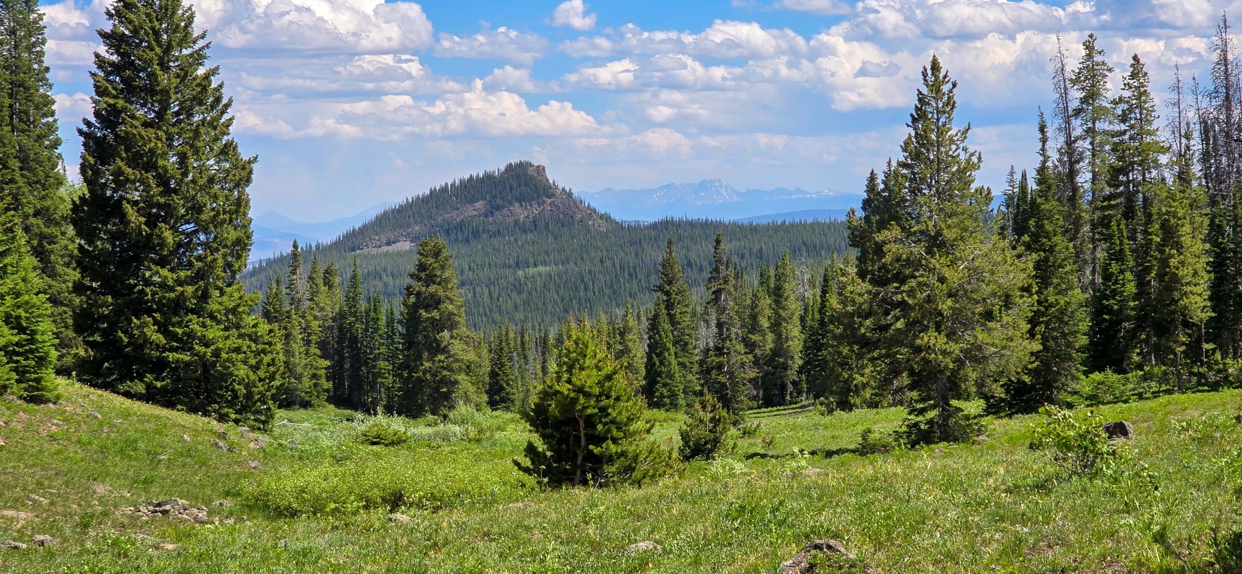
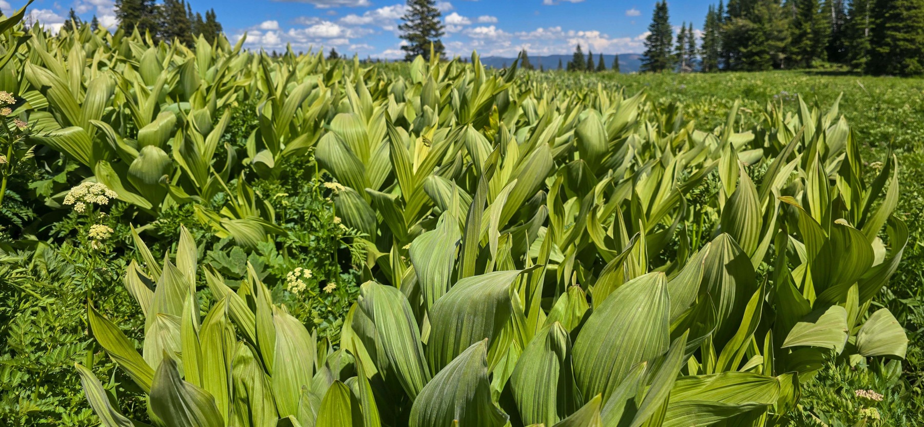
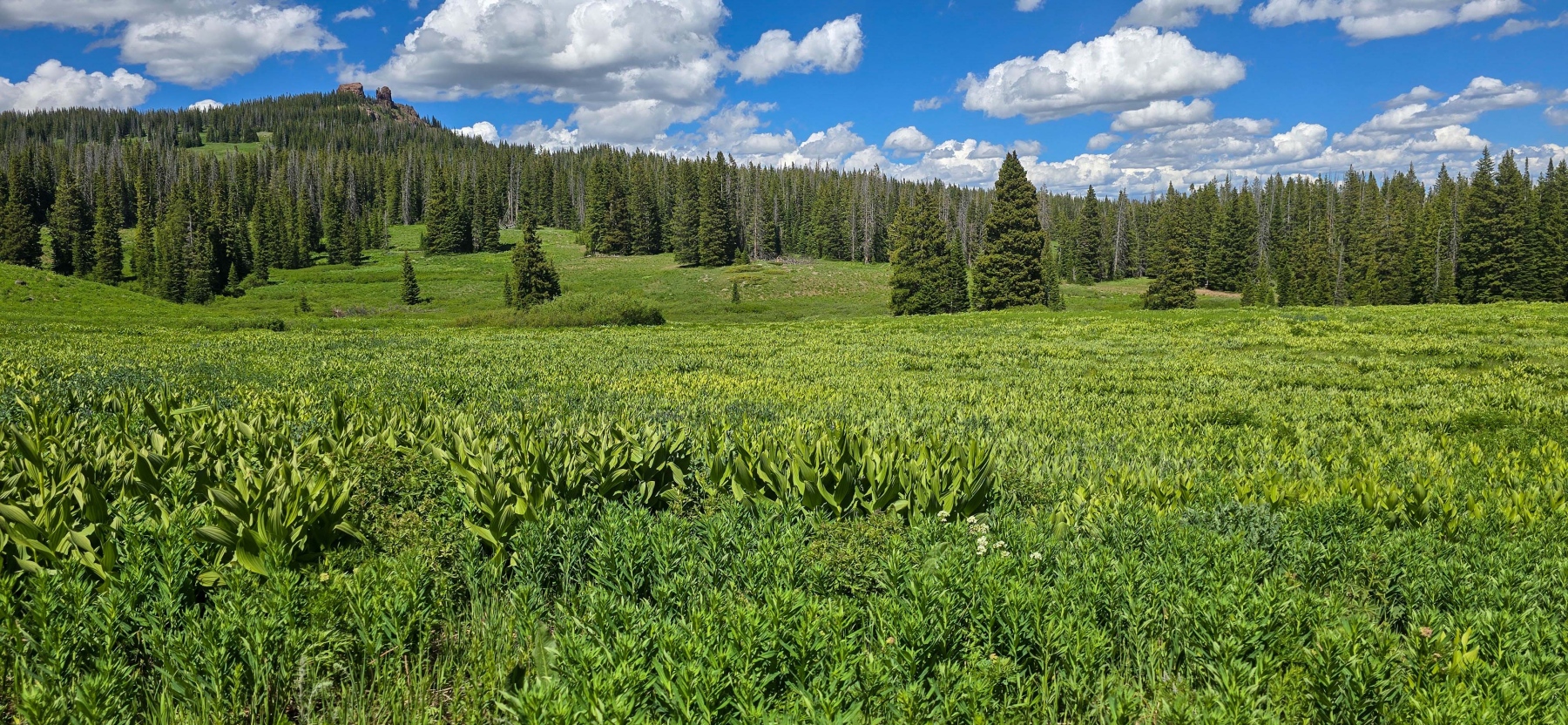
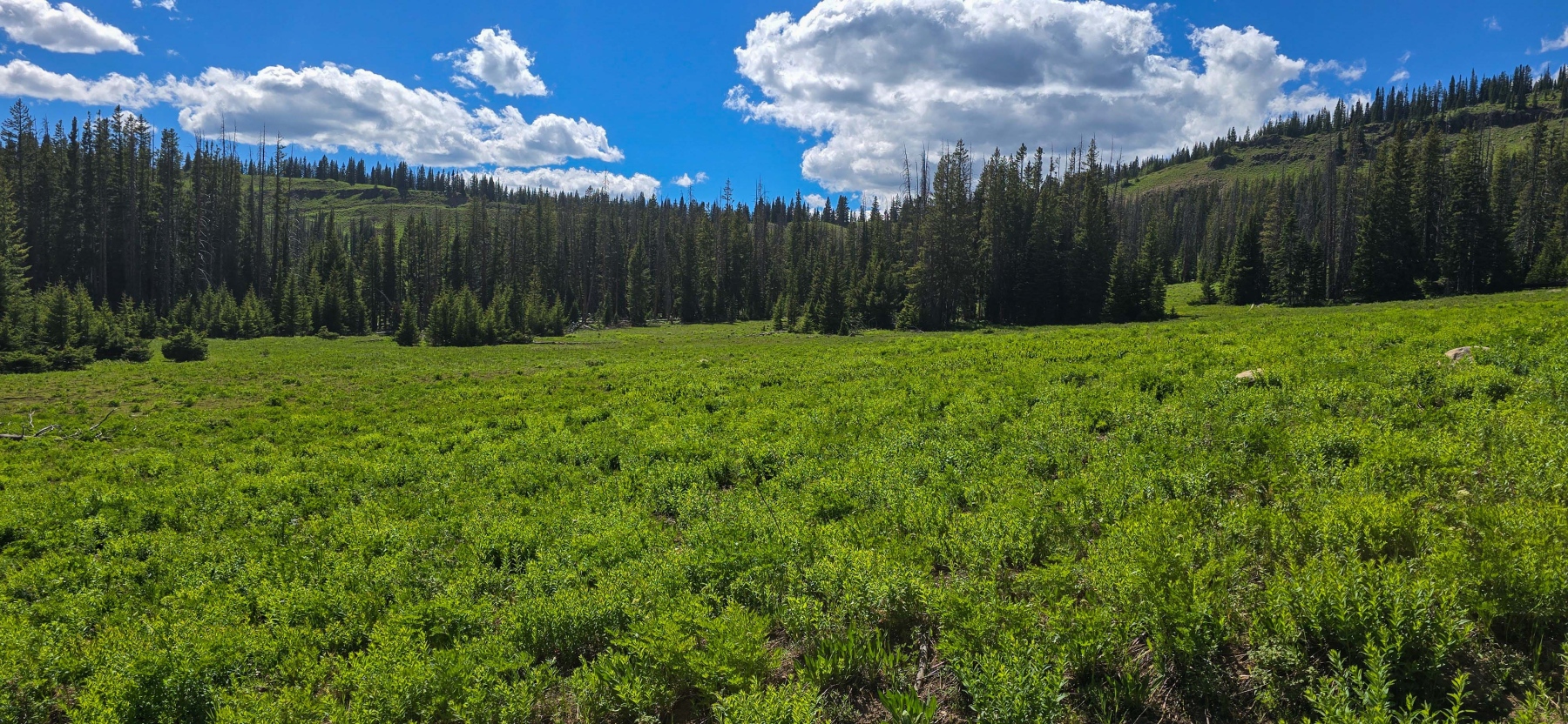
Once you make that turn and clear a small section of trees, this hike becomes one of the prettiest I have been on. I went towards the end of June and the entire place was a picturesque green. There were plenty of trees and tall grasses and of course the iconic Rabbit Ears on top of the hill.
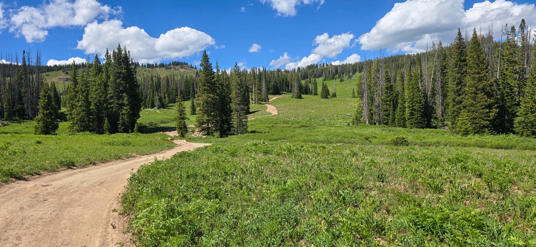
This meadow section is really pretty and lasts for about two miles. The incline is steady through the two miles with a couple of sections that get into the double digit grades. It tends to get steeper the closer you are to the ears, but for the most part, it is an enjoyable hike through some beautiful lands.
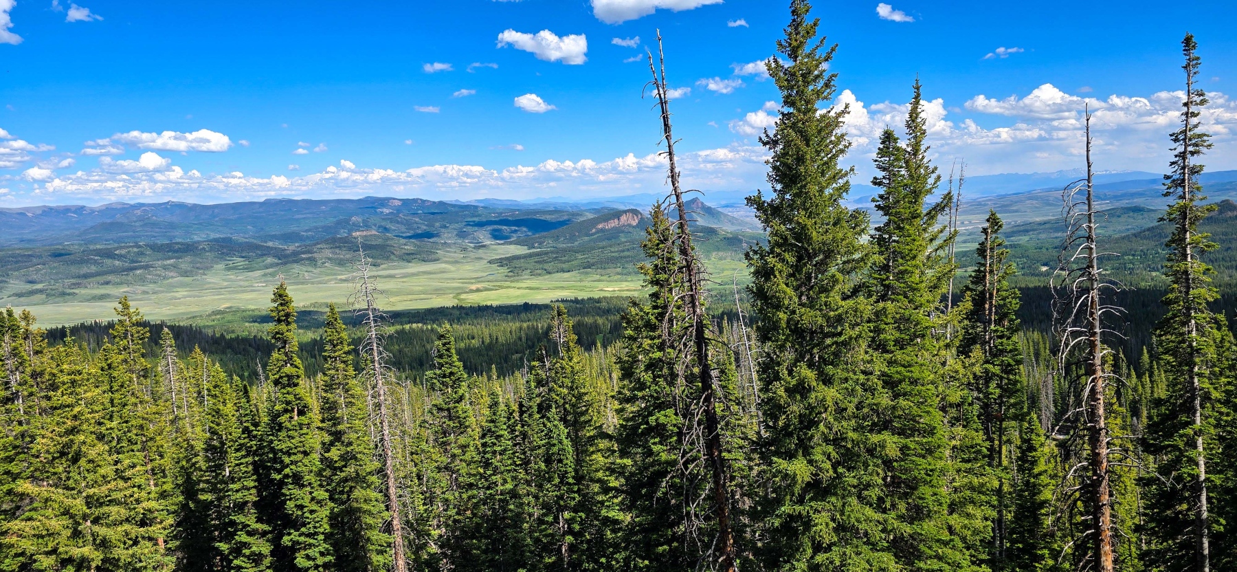
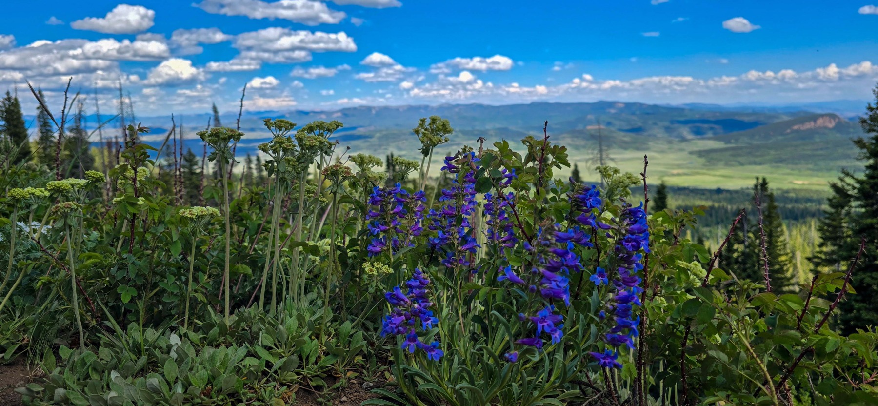
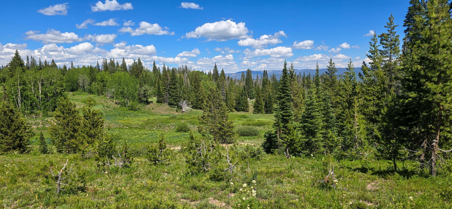
Don’t forget to take some breaks and look back where you can start to see some of the amazing landscapes below!

To the Trees
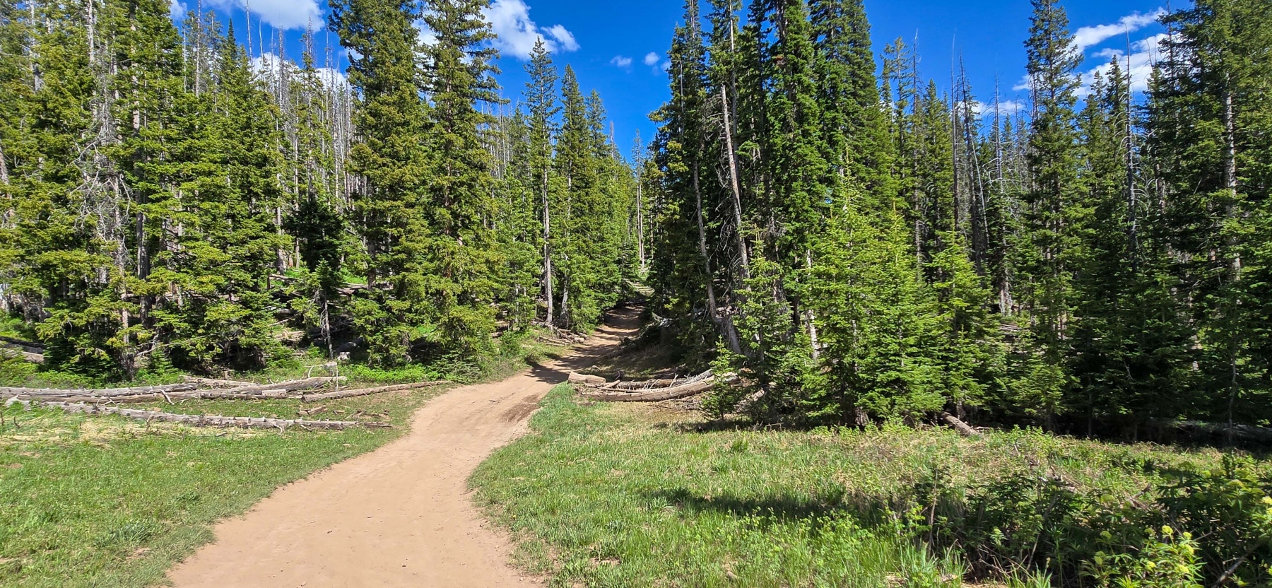
As you get to the top of the meadow, you will approach a more tried section. The good news is, you hit a bit of a flat spot for a moment. The bad news is that moment is brief! Once you hit the trees, the real incline of the hike is getting close.

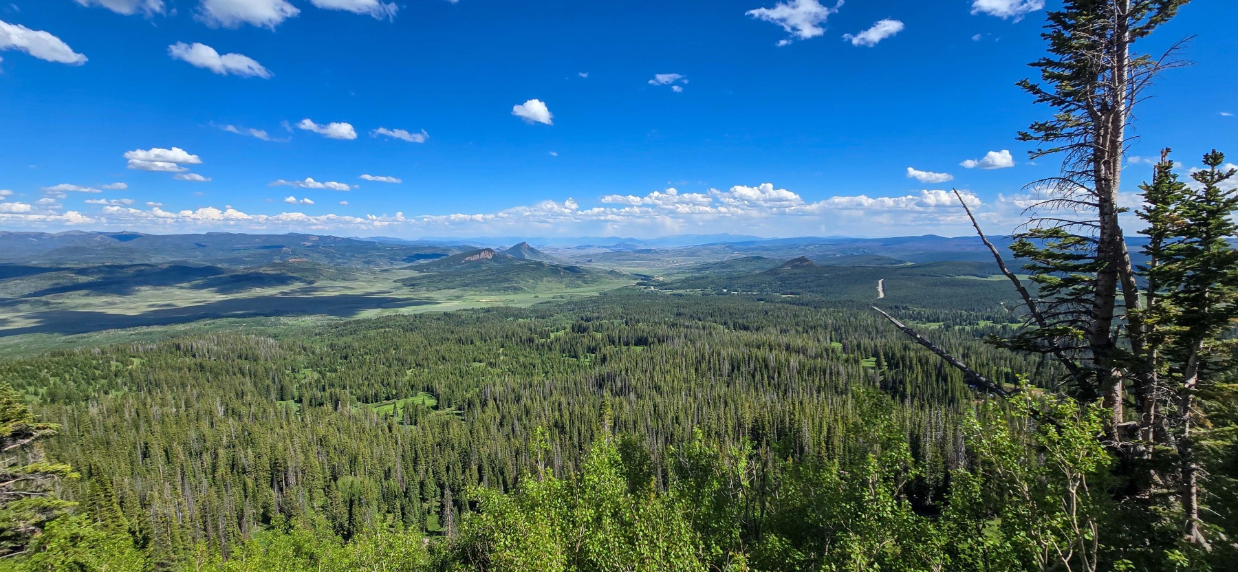
Before the big incline, there are some pretty amazing views. As you are making your way through the wooded section, you will come to a couple of clearings. These clearings have some of the best views of the entire hike. Taking a moment to enjoy these views is definitely recommended as the hardest part of the hike is coming up!

The Incline
Now is when the hike gets real! The last section of the hike before the ears is a short but it sure is steep. The final push is about two-tenths of a mile but can go up to 30% grades. That is steep no matter how you look at it. The steep section starts as a a wider road and gets more narrow as you go and I found myself sliding on the loose dirt a bit because of how steep it was.
Because it is a shorter section, it isn’t overwhelming but it is definitely challenging and I wanted to warn you. There are definitely spots that you can take a break and the best news, after the incline, you are at the peak!

The Peak
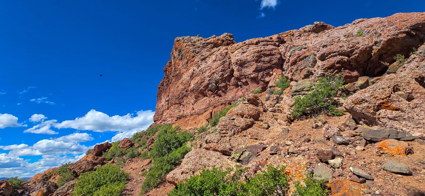
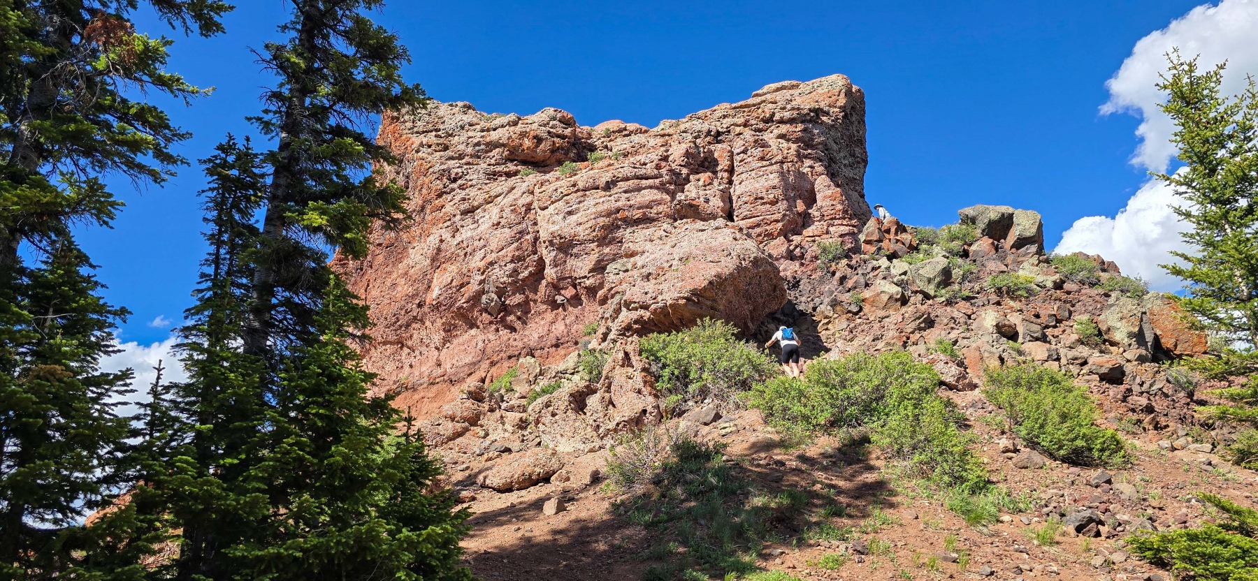
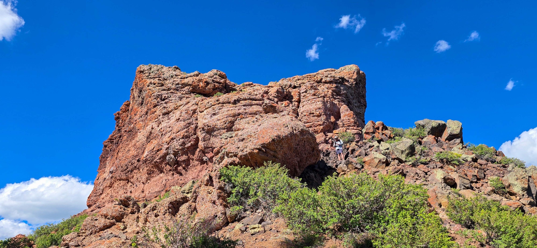
Congrats, you have made it to Rabbit Ears Peak! After a long hike and a big incline, it feels amazing to finally being to the peak of the pass. Well, almost. I am not a climber so I spent my time up here at the base of the southern ear. I did see people making their way to the top of the ear but I felt way better down on the ground.
The only problem from not going higher up, I could only see one ear from here! While there are good views of both ears for a majority of the hike, the actual peak blocks the second ear. I wasn’t too worried about it as being up here was great anyway. I was just missing that Iconic shot of both ears.
Despite the missing ear, this was a really nice hike and a great way to break up a road trip. The lead up to the peak is one of the prettiest area’s I have seen in a while and made the entire hike worth it!

Distance and Elevation
If you don’t have the AllTrails app you might want to check it out, I really love mine. It records your progress and is a great way to search for hikes that are nearby and gives you difficulty measurements. According to AllTrails today’s hike was around 5.82 miles and had a total elevation gain of about 1,024 feet including undulations. That put the high point at around 10,571 feet. I was also moving for a total of 2 hours and 38 minutes.
I am a Pro member of AllTrails and love it. If you are interested in the platform, please consider using my affiliate link for AllTrails. It gives me a small commission with no extra cost to you.
Effort
For the most part, the hike up to the Rabbit Ears is continual but not overwhelming incline. There are a couple of steeper sections but generally manageable. The last part though is a different story. To get the Ears, the last section can get up to a 27% grade which is pretty steep and a challenge. Luckily that section is short. However, because of that aggressive incline, I am going to rank this as a moderate hike.
Terrain
The trail up to the Rabbit Ears is really easy to follow and a wider hard dirt path with some dirt road hiking as well. There are a few sections with tree cover but for the most part you will be exposed so make sure to ready for the elements. I also hiked in June, so the snow had melted away but this is a high elevation hike, that takes you over 10,000 feet, so make sure to be prepared for all sorts of weather.
Access to Rabbit Ears Peak Trail
The Rabbit Ears Peak Trailhead is located down Mine road past the campground on the left had side. There is parking for about a dozen or so cars at the trailhead. There are no restrooms there but the large parking lot for the pass has a pit facility.
Wrapping up the Hike to Rabbit Ears Peak
Hiking to Rabbit Ears Peak was a really great experience. The hike is just hard enough to make you struggle without being super overwhelming. The views are completely next level and if you go during the bloom, the wildflowers and grasses frame the area perfectly. The only downside is at the top, you can’t really see both ears.
While this is a good hike and really pretty, the incline section is pretty brutal if you aren’t used to hiking. Plus, it is above 10,000 feet so if you aren’t used to the elevation or inclines, you may want to skip the top and just enjoy the meadow on this one. But if you can make it to the top, it is a pretty amazing hike.
I have added this hike and all of my hikes to the interactive map page you can find here. If you have any suggestions for hikes or comments feel free to email me at fatmanlittletrails@gmail.com or you can follow me on any of the below social media platforms. Happy Hiking!
Gallery of the Hike to Rabbit Ears Peak